Pottery Mound, Los Lunas

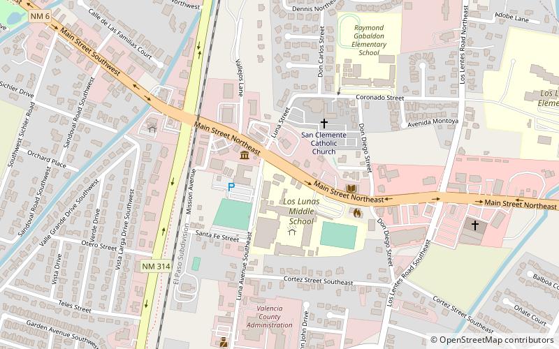
Map
Facts and practical information
Pottery Mound was a late prehistoric village on the bank of the Rio Puerco, west of Los Lunas, New Mexico. It was an adobe pueblo most likely occupied between 1350 and 1500. The site is best known for its 17 kivas, which yielded a large number of murals. A 2007 book, New Perspectives on Pottery Mound Pueblo provides a general introduction to the site. ()
Coordinates: 34°48'22"N, 106°43'59"W
Address
Los Lunas
ContactAdd
Social media
Add