Battle of Lexington State Historic Site, Lexington
Map

Map

Facts and practical information
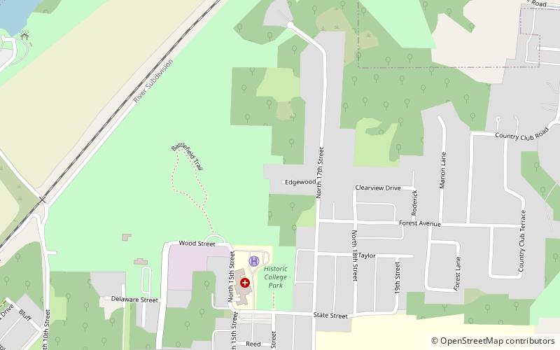
The Battle of Lexington State Historic Site is state-owned property located in the city of Lexington, Missouri. The site was established in 1958 to preserve the grounds where an American Civil War battle took place in 1861 between Confederate troops led by Major-General Sterling Price and Federal troops led by Colonel James A. Mulligan. The site offers a short battlefield loop trail, picnicking, and tours of the battlegrounds and Oliver Anderson mansion. ()
Established: 1958 (68 years ago)Visitors per year: 28.2 thous.Coordinates: 39°11'33"N, 93°52'34"W
Day trips
Battle of Lexington State Historic Site – popular in the area (distance from the attraction)
Nearby attractions include: Lafayette County Courthouse, Lexington Historical Museum, House at 1413 Lafayette St., Old Neighborhoods Historic District.
Frequently Asked Questions (FAQ)
Which popular attractions are close to Battle of Lexington State Historic Site?
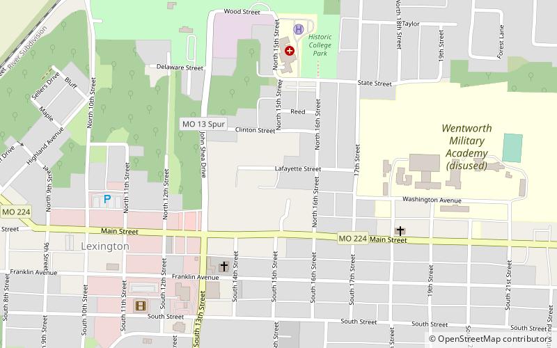
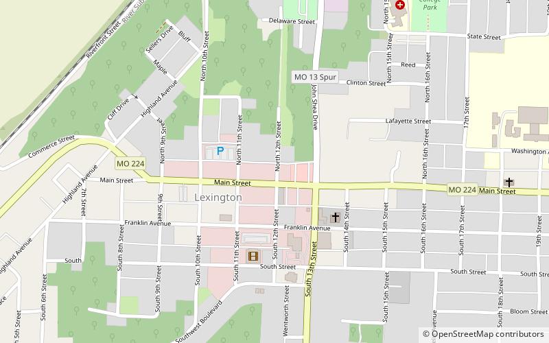
Nearby attractions include House at 1413 Lafayette St., Lexington (10 min walk), Old Neighborhoods Historic District, Lexington (13 min walk), Commercial Community Historic District, Lexington (14 min walk), Lexington Historical Museum, Lexington (14 min walk).


