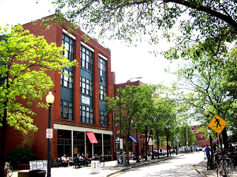
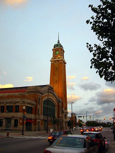
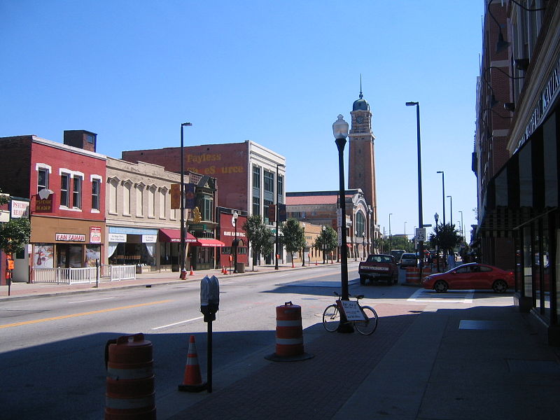
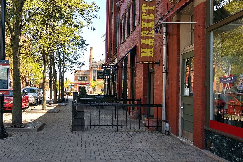
Ohio City, Cleveland

Gallery (8)
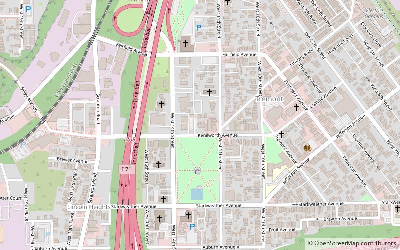
Map


Map

Gallery
Facts and practical information
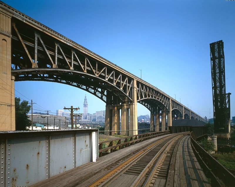
Ohio City is one of the oldest neighborhoods in Cleveland, Ohio. It is located immediately west of the Cuyahoga River. ()
Coordinates: 41°29'4"N, 81°42'45"W
Address
Ohio CityCleveland
ContactAdd
Social media
Add
Getting there by public transportation
Public transportation stops near this location
- Metro
- Bus
- Light rail
 Metro
Metro
- Calculate routeWest 25th–Ohio City 15 min walk
- Calculate routeWest 65th–Lorain 25 min walk
- Calculate routeTower City 34 min walk
- Calculate routeSettlers Landing 27 min walk
- Calculate routeFlats East Bank 29 min walk
- Calculate routeTower City 35 min walk
- Calculate route79 A/B 51A/B/C 22 26 32 min walk
Day trips


Frequently Asked Questions (FAQ)
Which popular attractions are close to Ohio City?
Nearby attractions include Franklin Castle, Cleveland (6 min walk), Ohio City Glass, Cleveland (7 min walk), St. John's Episcopal Church, Cleveland (12 min walk), West Side Market, Cleveland (13 min walk).
How to get to Ohio City by public transport?
The nearest stations to Ohio City:
Metro
Light rail
Bus
Metro
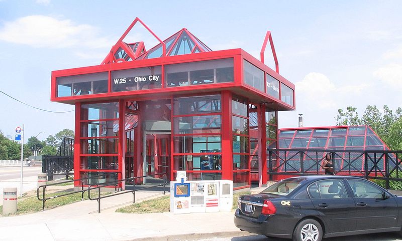
- West 25th–Ohio City • Lines: Red (15 min walk)
- West 65th–Lorain • Lines: Red (25 min walk)
Light rail
- Settlers Landing • Lines: 67Ax, 67AX Blue, Blue, Green (27 min walk)
- Flats East Bank • Lines: 67Ax, 67AX Blue, Blue, Green (29 min walk)
Bus
- 79 A/B 51A/B/C 22 26 (32 min walk)