Idlewild Park, Reno
Map
Facts and practical information
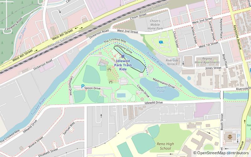
Idlewild Park is a large, 49 acre community park close to downtown Reno, Nevada on the Truckee River. It includes a rose garden, duck ponds, two children's parks, a pool and a skate park. It holds the Reno Earth Day celebration every year and hosts the Reno Street Food food truck event through the summer months. It is also home to the historic California Building on Cowan Drive. ()
Elevation: 4521 ft a.s.l.Coordinates: 39°31'16"N, 119°49'59"W
Getting there by public transportation
Public transportation stops near this location
- Bus
- Train
 Bus
Bus
- Calculate routeIdlewild Park Train Ride 3 min walk
- Calculate routeReno 32 min walk
- Calculate routeArlington/Island 24 min walk
- Calculate routeReno Downtown 30 min walk
- Calculate routeBay R 34 min walk
- Calculate routeBay S 34 min walk
Day trips


Frequently Asked Questions (FAQ)
When is Idlewild Park open?
Idlewild Park is open:
- Monday 24h
- Tuesday 24h
- Wednesday 24h
- Thursday 24h
- Friday 24h
- Saturday 24h
- Sunday 24h
Which popular attractions are close to Idlewild Park?
Nearby attractions include McKinley Park School, Reno (13 min walk), Pearl Upson House, Reno (13 min walk), J. Clarence Kind House, Reno (16 min walk), Oxbow, Reno (19 min walk).
How to get to Idlewild Park by public transport?
The nearest stations to Idlewild Park:
Train
Bus
Train
- Idlewild Park Train Ride (3 min walk)
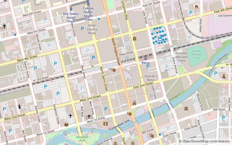
- Reno (32 min walk)
Bus
- Arlington/Island • Lines: 6 (24 min walk)
- Reno Downtown • Lines: 2064 (30 min walk)