Fort Holmes, Mackinac Island
Map

Gallery

Facts and practical information
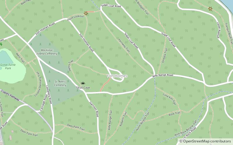
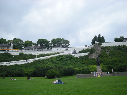
Fort Holmes is a fortified earthen redoubt located on the highest point of Mackinac Island. Originally built in 1814 by British forces during the War of 1812, the redoubt was improved by that army throughout the course of the war to help defend the adjacent Fort Mackinac from a possible attack by the U.S. Army. ()
Coordinates: 45°51'30"N, 84°36'59"W
Day trips
Fort Holmes – popular in the area (distance from the attraction)
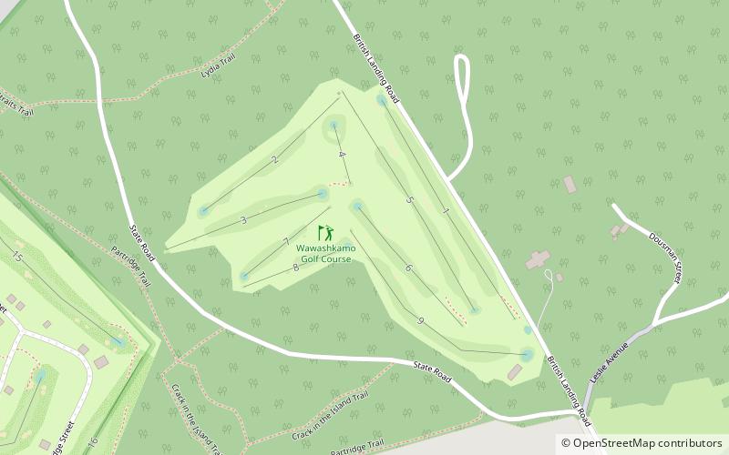
Nearby attractions include: Fort Mackinac, Skull Cave, Richard and Jane Manoogian Mackinac Art Museum, Wawashkamo Golf Club.
Frequently Asked Questions (FAQ)
Which popular attractions are close to Fort Holmes?
Nearby attractions include Skull Cave, Mackinac Island (4 min walk), Arch Rock, Mackinac Island (8 min walk), Fort Mackinac, Mackinac Island (11 min walk), Anne's Tablet, Mackinac Island (12 min walk).


