El Palo Alto, Palo Alto

Gallery (2)
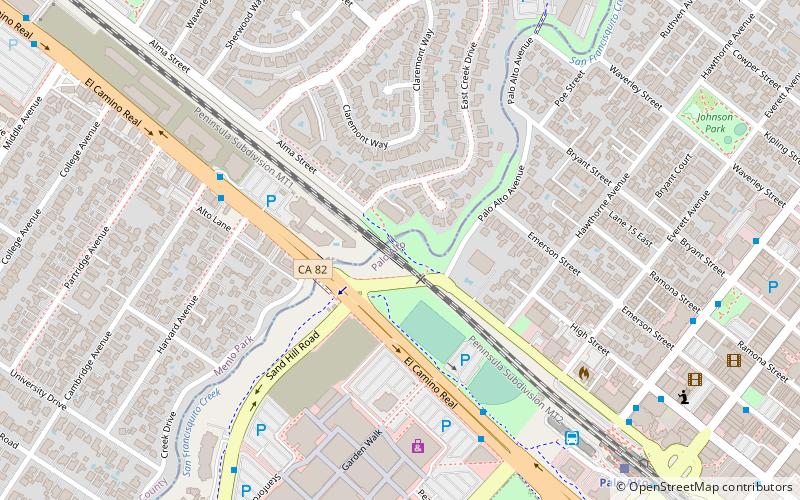
Map
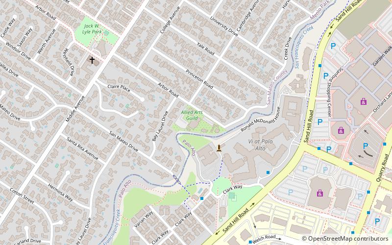
Map
Gallery
Facts and practical information
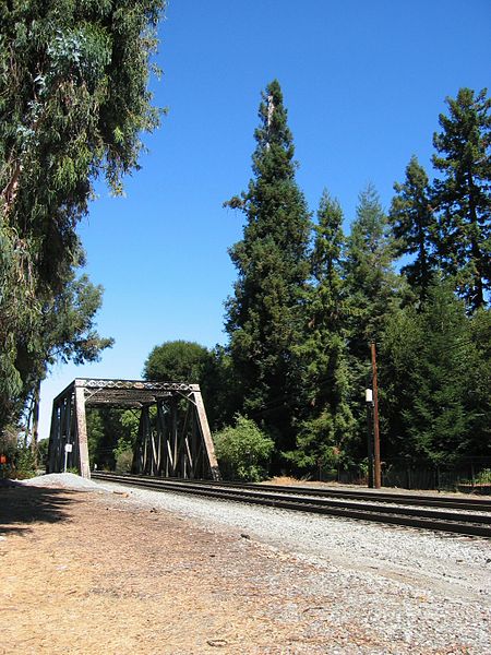
El Palo Alto is a coastal redwood tree located in El Palo Alto Park on the banks of San Francisquito Creek in Palo Alto, California, United States. It is famous for its historical significance and as the namesake of the city of Palo Alto. ()
Address
117 Palo Alto AvePalo Alto (Downtown North)Palo Alto
ContactAdd
Social media
Add
Getting there by public transportation
Public transportation stops near this location
- Bus
- Train
 Bus
Bus
- Calculate routeEl Camino Real & Cambridge Avenue 6 min walk
- Calculate routeEl Camino Real & Quarry Road 6 min walk
- Calculate routeSand Hill Road & London Plane Way 9 min walk
- Calculate routeLytton Avenue & Alma Street 9 min walk
- Calculate routePalo Alto 10 min walk
- Calculate routeMenlo Park 23 min walk
- Calculate routeStanford 25 min walk
Day trips


Frequently Asked Questions (FAQ)
Which popular attractions are close to El Palo Alto?
Nearby attractions include Ramona Street Architectural District, Palo Alto (12 min walk), Digital DNA, Palo Alto (12 min walk), Pacific Art League, Palo Alto (16 min walk), Allied Arts Guild, Palo Alto (17 min walk).
How to get to El Palo Alto by public transport?
The nearest stations to El Palo Alto:
Bus
Train
Bus
- El Camino Real & Cambridge Avenue • Lines: Boh, Ecr (6 min walk)
- El Camino Real & Quarry Road • Lines: 21, 280, 281, Ecr (6 min walk)
Train
- Palo Alto (10 min walk)
- Menlo Park (23 min walk)