San Lorenzo River, Santa Cruz
Map
Map

Facts and practical information
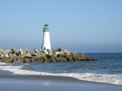
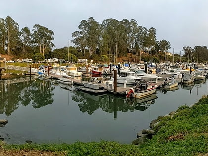
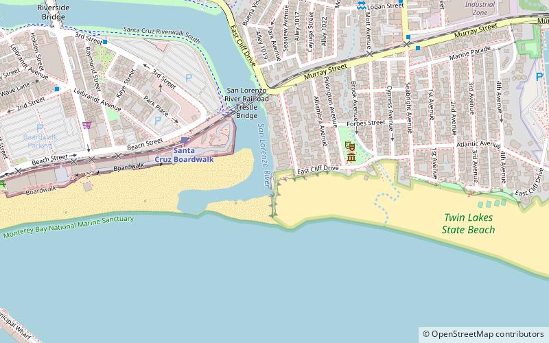
The San Lorenzo River is a 29.3 miles long river whose headwaters originate in Castle Rock State Park in the Santa Cruz Mountains and flow south by southeast through the San Lorenzo Valley before passing through Santa Cruz and emptying into Monterey Bay and the Pacific Ocean. ()
Length: 29.33 miCoordinates: 36°57'51"N, 122°0'43"W
Address
EastsideSanta Cruz
ContactAdd
Social media
Add
Day trips
San Lorenzo River – popular in the area (distance from the attraction)
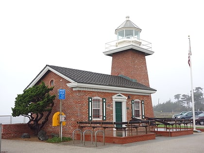
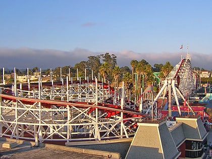
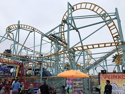
Nearby attractions include: Santa Cruz Beach Boardwalk, Santa Cruz Surfing Museum, Giant Dipper, Undertow Roller Coaster.
Frequently Asked Questions (FAQ)
Which popular attractions are close to San Lorenzo River?
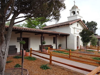
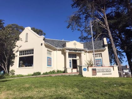
Nearby attractions include Santa Cruz Museum of Natural History, Santa Cruz (3 min walk), Giant Dipper, Santa Cruz (5 min walk), Santa Cruz Looff Carousel and Roller Coaster, Santa Cruz (6 min walk), Undertow Roller Coaster, Santa Cruz (9 min walk).
How to get to San Lorenzo River by public transport?
The nearest stations to San Lorenzo River:
Train
Bus
Train
- Santa Cruz Boardwalk (5 min walk)
Bus
- Murray Street & Seabright Avenue • Lines: 68 (9 min walk)
- Seabright Avenue & Logan Street • Lines: 68 (10 min walk)


