Kingston Stockade District, Kingston
Map
Gallery
Facts and practical information
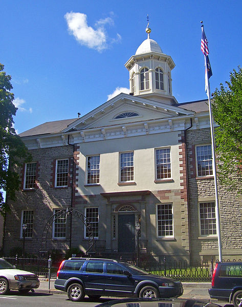
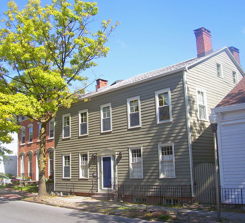
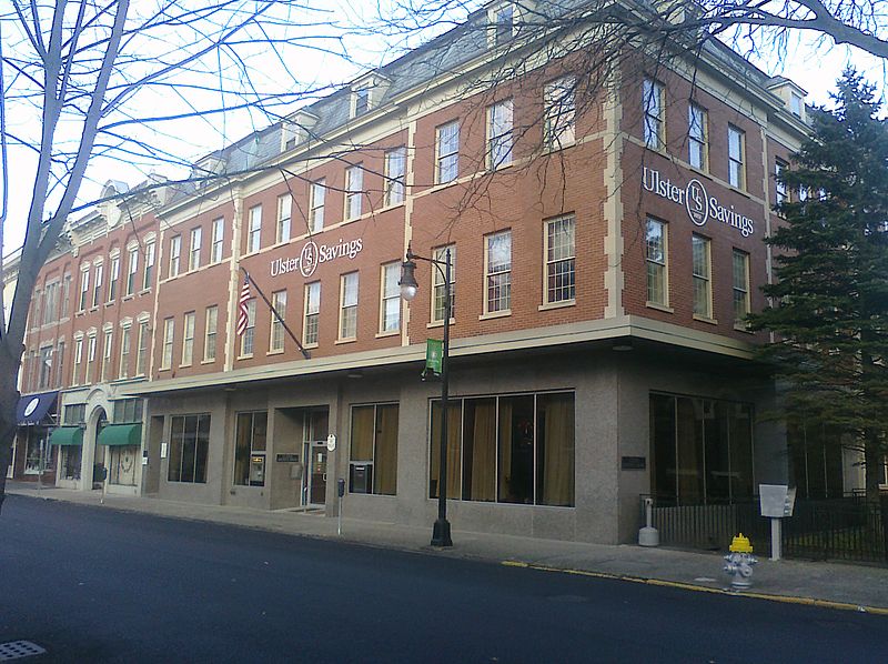
The Kingston Stockade District is an eight-block area in the western section of Kingston, New York, United States, commonly referred to as Uptown Kingston. It is the original site of the mid-17th century Dutch settlement of Wiltwyck, which was later renamed Kingston when it passed to English control. ()
Coordinates: 41°56'1"N, 74°1'10"W
Day trips
Kingston Stockade District – popular in the area (distance from the attraction)
Nearby attractions include: Old Dutch Church, Kingston City Hall, Senate House State Historic Site, Mt. Zion Cemetery.
Frequently Asked Questions (FAQ)
Which popular attractions are close to Kingston Stockade District?
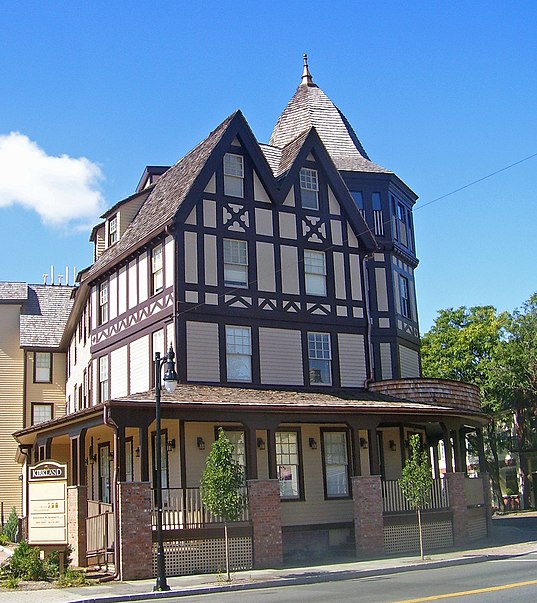
Nearby attractions include Old Dutch Church, Kingston (2 min walk), Senate House State Historic Site, Kingston (3 min walk), Kirkland Hotel, Kingston (5 min walk), Fair Street Reformed Church, Kingston (5 min walk).
How to get to Kingston Stockade District by public transport?
The nearest stations to Kingston Stockade District:
Train
Train
- Catskill Mountain Railroad (7 min walk)


