Haleakalā, Haleakala National Park
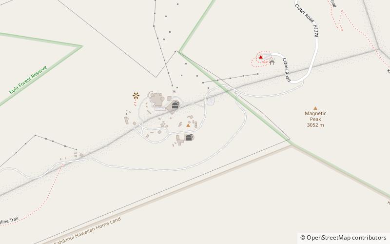
Map
Gallery
Facts and practical information
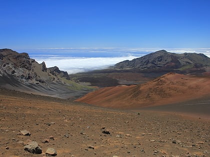
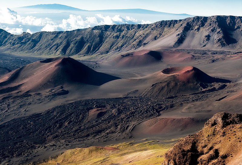
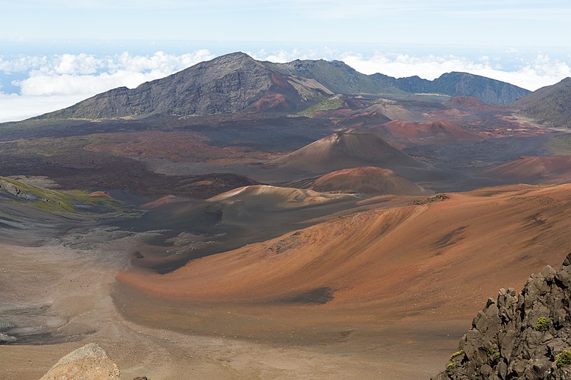
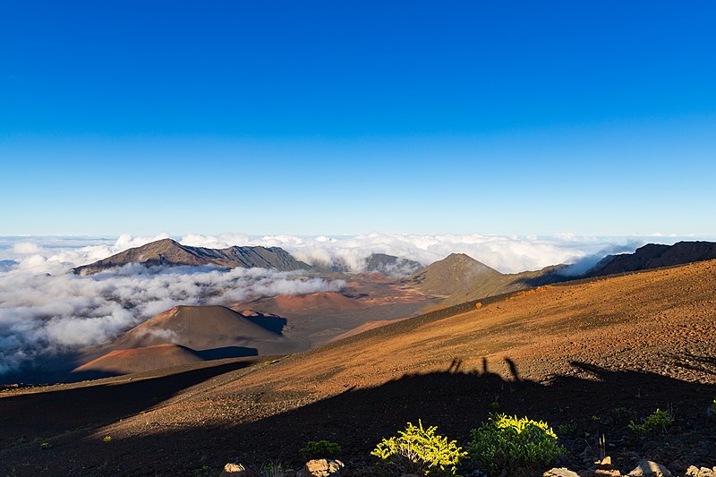
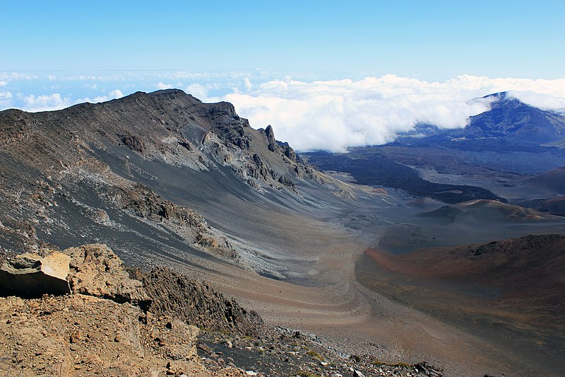
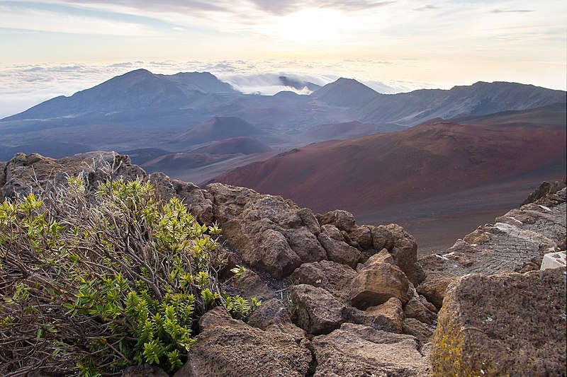
Haleakalā, or the East Maui Volcano, is a massive shield volcano that forms more than 75% of the Hawaiian Island of Maui. The western 25% of the island is formed by another volcano, Mauna Kahalawai, also referred to as the West Maui Mountains. ()
Alternative names: Last eruption: 1600Elevation: 10023 ftProminence: 10023 ftCoordinates: 20°42'35"N, 156°15'11"W
Address
Haleakala National Park
ContactAdd
Social media
Add
Related articles
Hawaii is a nature lover's dream, with pristine beaches, beautiful mountains, gorgeous volcano craters, and some of the world's most incredible natural treasures. Here are Hawaii's most amazing natural wonders.
See articleDay trips
Haleakalā – popular in the area (distance from the attraction)
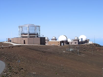
Nearby attractions include: Pan-STARRS, Haleakalā Observatory, 3.67 m Advanced Electro Optical System Telescope, Sliding Sands Trail.
Frequently Asked Questions (FAQ)
Which popular attractions are close to Haleakalā?
Nearby attractions include Sliding Sands Trail, Haleakala National Park (6 min walk), Pan-STARRS, Maui (7 min walk), Haleakalā Observatory, Maui (8 min walk), 3.67 m Advanced Electro Optical System Telescope, Maui (8 min walk).
