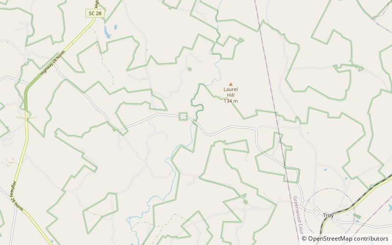
Bradley's Covered Bridge, Sumter National Forest

Map
Facts and practical information
Bradley's Covered Bridge, also known as the Long Cane Covered Bridge, was a covered bridge located near Troy, South Carolina. ()
Built: 1892 (134 years ago)Coordinates: 34°0'52"N, 82°20'39"W
Address
Sumter National Forest
ContactAdd
Social media
Add
Day trips
Bradley's Covered Bridge – popular in the area (distance from the attraction)
Nearby attractions include: Long Cane Associate Reformed Presbyterian Church, Long Cane Massacre Site, Eden Hall.


