Olallie Scenic Area, Mount Hood National Forest
Map

Gallery

Facts and practical information
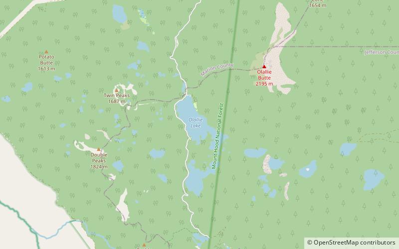
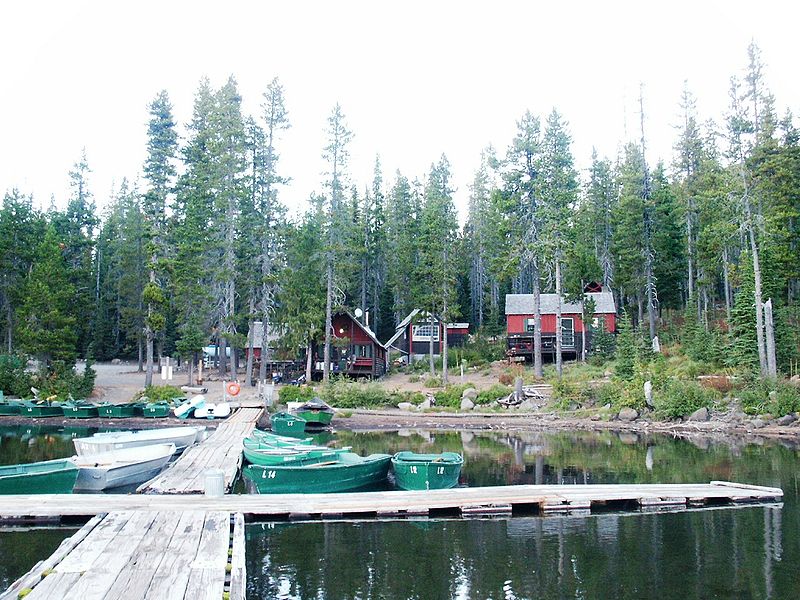
Olallie Scenic Area is a United States Forest Service designated scenic area located in Oregon's Cascade Range. It is between Mount Hood on the north and Mount Jefferson to the south and contains Olallie Lake along with several smaller lakes. The name Olallie is Chinook Jargon for berry. ()
Maximum depth: 43 ftElevation: 4938 ft a.s.l.Coordinates: 44°48'23"N, 121°47'10"W
Address
Mount Hood National Forest
ContactAdd
Social media
Add
Day trips
Olallie Scenic Area – popular in the area (distance from the attraction)
Nearby attractions include: Fish Lake.

