Lone Mountain, San Francisco
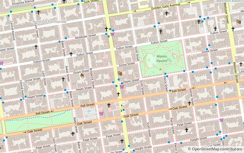
Map

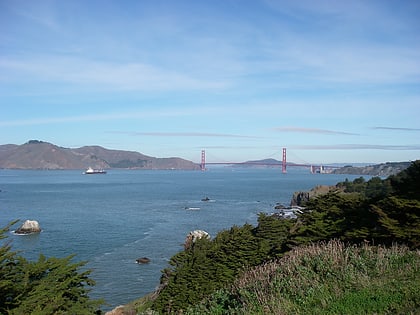
Gallery

Facts and practical information
Lone Mountain is a historic hill in west-central San Francisco, California and the site of the private University of San Francisco – Lone Mountain Campus, which in turn was previously the San Francisco Lone Mountain College for Women. It was once the location of Lone Mountain Cemetery, a complex encompassing the Laurel Hill, Calvary, Masonic, and Odd Fellows Cemeteries. ()
Elevation: 421 ftCoordinates: 37°46'45"N, 122°27'7"W
Address
Northwest San Francisco (Lone Mountain)San Francisco
ContactAdd
Social media
Add
Day trips
Lone Mountain – popular in the area (distance from the attraction)
Nearby attractions include: Haight Street, Conservatory of Flowers, Green Apple Books, Booksmith.
Frequently Asked Questions (FAQ)
Which popular attractions are close to Lone Mountain?
Nearby attractions include Saint Ignatius Church, San Francisco (6 min walk), San Francisco Columbarium & Funeral Home, San Francisco (8 min walk), Laurel Heights, San Francisco (9 min walk), Anza Vista, San Francisco (13 min walk).
How to get to Lone Mountain by public transport?
The nearest stations to Lone Mountain:
Bus
Trolleybus
Light rail
Train
Tram
Bus
- Geary Boulevard & Spruce Street • Lines: 38, 92 (5 min walk)
- Geary Boulevard & Collins Street • Lines: 38 (7 min walk)
Trolleybus
- Fulton Street & Stanyan Street • Lines: 33 (9 min walk)
- Stanyan Street & Fulton Street • Lines: 33 (10 min walk)
Light rail
- Carl Street & Cole Street • Lines: N (24 min walk)
- Irving Street & Arguello Boulevard • Lines: N (28 min walk)
Train
- Carl Street & Cole Street (24 min walk)
- UCSF Parnassus (28 min walk)
Tram
- Market Street & Noe Street • Lines: F (38 min walk)
- 17th Street & Castro Street • Lines: F (38 min walk)

 Muni Metro

