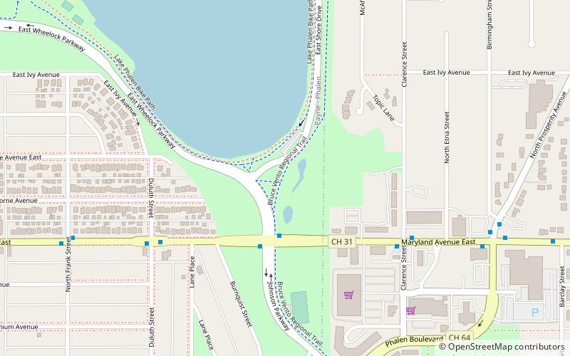
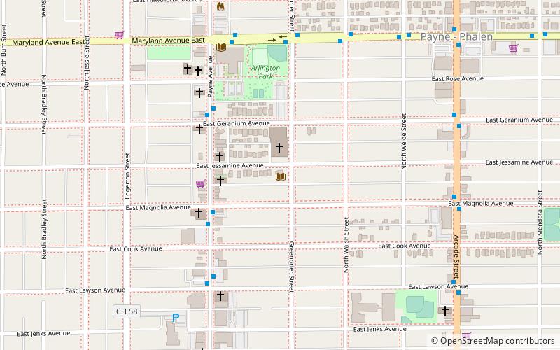
Bruce Vento Regional Trail, Saint Paul
Map

Map

Facts and practical information
The Bruce Vento Regional Trail is a rail trail in the cities of Vadnais Heights, Gem Lake, Maplewood, and Saint Paul, Minnesota, USA. ()
Length: 7 miSeason: All yearElevation: 863 ft a.s.l.Coordinates: 44°58'44"N, 93°2'48"W
Address
Payne - PhalenSaint Paul
ContactAdd
Social media
Add
Day trips
Bruce Vento Regional Trail – popular in the area (distance from the attraction)
Nearby attractions include: Lake Phalen, Vertical Endeavors, Arlington Hills Library, East Side Freedom Library.
Frequently Asked Questions (FAQ)
Which popular attractions are close to Bruce Vento Regional Trail?
Nearby attractions include Lake Phalen, Saint Paul (18 min walk), Church of St. Casimir, Saint Paul (20 min walk).
How to get to Bruce Vento Regional Trail by public transport?
The nearest stations to Bruce Vento Regional Trail:
Bus
Bus
- White Bear Avenue & Orange Avenue • Lines: 80 (27 min walk)


