Independence Lake, Hunter–Fryingpan Wilderness

Gallery (1)
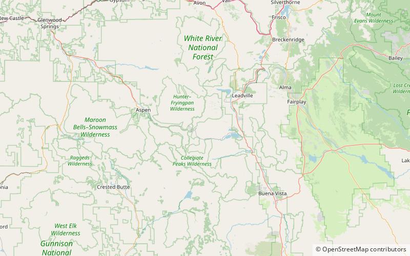
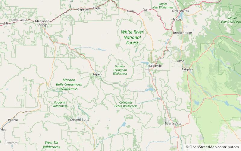
Map
Map
Facts and practical information
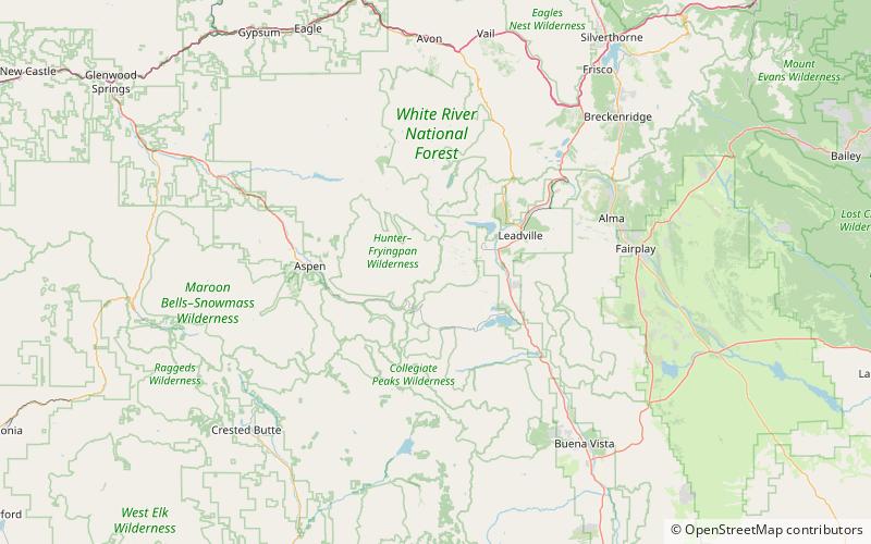
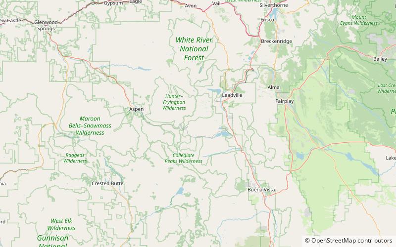
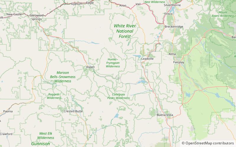
Independence Lake is an alpine lake in Pitkin County, Colorado, United States, located high in the Sawatch Range in the Hunter-Fryingpan Wilderness of White River National Forest. It is the source of the Roaring Fork River and is located south and over a pass from Lost Man Lake and north of Twining Peak. The lake is accessible via a trail from State Highway 82 west of Independence Pass. ()
Length: 1214 ftWidth: 475 ftElevation: 12497 ft a.s.l.Coordinates: 39°8'37"N, 106°34'5"W
Day trips