Devils Fork State Park

Gallery (1)
Map
Map
Facts and practical information
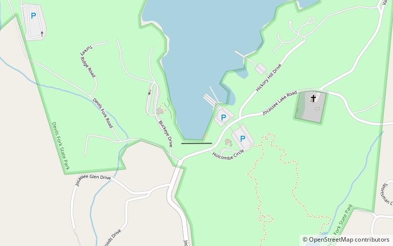
Devils Fork State Park is in northwestern South Carolina on the eastern edge of the Sumter National Forest at the edge of 7,500-acre Lake Jocassee. It is located three miles off SC 11, the Cherokee Scenic Highway, near the town of Salem, South Carolina. ()
Created: 1990Coordinates: 34°57'10"N, 82°56'51"W
Day trips
Devils Fork State Park – popular in the area (distance from the attraction)
Nearby attractions include: Jocassee Lake Tours and Shuttle Service.
