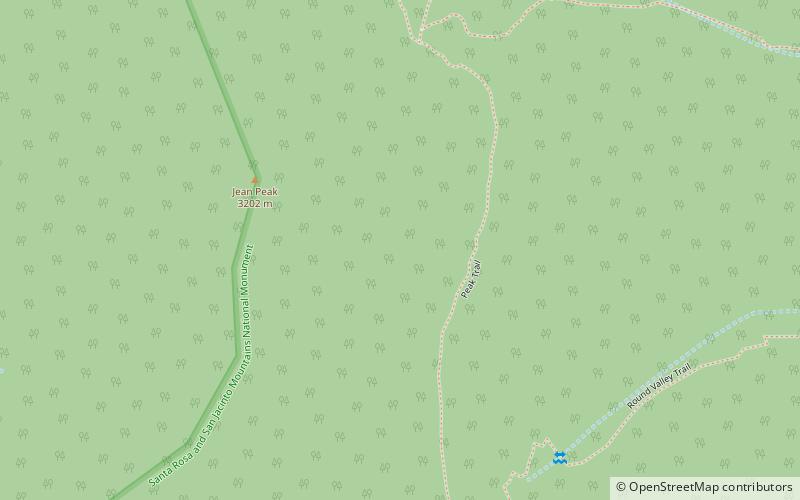
Mount San Jacinto State Park, Santa Rosa and San Jacinto Mountains National Monument
Map

Map

Facts and practical information
Mount San Jacinto State Park is in the San Jacinto Mountains, of the Peninsular Ranges system, in Riverside County, California, United States. A majority of the park is within the Santa Rosa and San Jacinto Mountains National Monument. The park is near the Greater Los Angeles and San Diego metropolitan areas. ()
Established: 1927 (99 years ago)Elevation: 10030 ft a.s.l.Coordinates: 33°48'17"N, 116°40'34"W
Address
Santa Rosa and San Jacinto Mountains National Monument
ContactAdd
Social media
Add
Day trips
Mount San Jacinto State Park – popular in the area (distance from the attraction)
Nearby attractions include: Tahquitz Peak, San Jacinto Peak, San Jacinto Mountains, Idyllwild Nature Center.
Frequently Asked Questions (FAQ)
Which popular attractions are close to Mount San Jacinto State Park?
Nearby attractions include San Jacinto Mountains, Santa Rosa and San Jacinto Mountains National Monument (18 min walk), San Jacinto Peak, Palm Springs (18 min walk).


