John Cole Farm, Cumberland

Gallery (1)
Map
Map
Facts and practical information
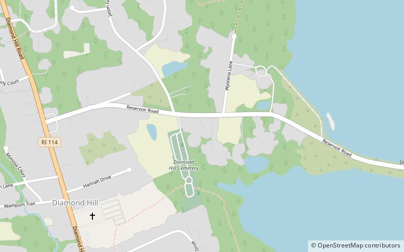
The John Cole Farm is an historic colonial farm on Reservoir Road in the far northeast of Cumberland, Rhode Island. The main farmhouse, a 1+1⁄2-story Cape style wood-frame structure, was built c. 1770 by John Cole not long after his acquisition of the property. The property, including a half-dozen outbuildings, has had only minimal intrusion of modern 20th-century amenities, and is a well-kept example of vernacular rural architecture of the late 18th century. ()
Built: 1770 (256 years ago)Coordinates: 41°59'26"N, 71°24'24"W
Address
Arnold MillsCumberland
ContactAdd
Social media
Add
Day trips


