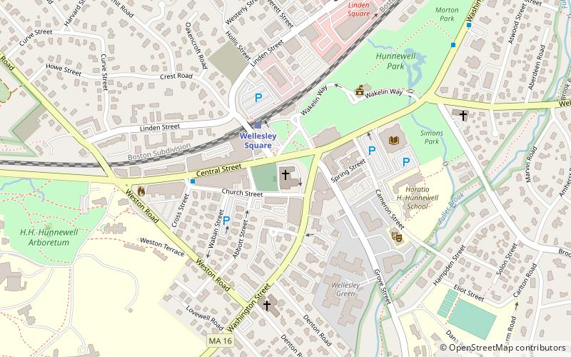
Wellesley Congregational Church, Wellesley
Map

Map

Facts and practical information
The Wellesley Congregational Church and Cemetery is a historic religious facility at 2 Central Street in the center of Wellesley, Massachusetts. The church is a brick Georgian Revival structure designed by Carrère and Hastings and built between 1918 and 1922. It is the fourth structure built for a congregation established in 1798, when the area was part of Newton. The church complex includes the main sanctuary and administrative offices and a chapel, all part of the original 1918 design, and a 1955 parish hall. ()
Built: 1918 (108 years ago)Coordinates: 42°17'46"N, 71°17'38"W
Day trips
Wellesley Congregational Church – popular in the area (distance from the attraction)
Nearby attractions include: Davis Museum at Wellesley College, Whitin Observatory, Wellesley College, Nehoiden Golf Club.
Frequently Asked Questions (FAQ)
Which popular attractions are close to Wellesley Congregational Church?
Nearby attractions include Wellesley Town Hall, Wellesley (5 min walk), Whitin Observatory, Wellesley (12 min walk), Wellesley College Botanic Gardens, Wellesley (14 min walk), Wellesley College, Wellesley (17 min walk).
How to get to Wellesley Congregational Church by public transport?
The nearest stations to Wellesley Congregational Church:
Train
Train
- Wellesley Square (3 min walk)
- Wellesley Hills (34 min walk)


