Wellington Farm, Grayling

Gallery (1)
Map
Map
Facts and practical information
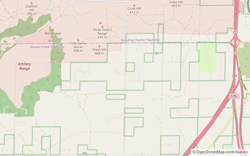
Wellington Farm (address: 6944 S Military Rd) is a place located in Grayling (Michigan state) and belongs to the category of museum.
It is situated at an altitude of 1296 feet, and its geographical coordinates are 44°35'4"N latitude and 84°46'12"W longitude.
Among other places and attractions worth visiting in the area are: M-72–Au Sable River Bridge (bridge, 151 min walk).
Coordinates: 44°35'4"N, 84°46'12"W
Day trips
Wellington Farm – popular in the area (distance from the attraction)
Nearby attractions include: M-72–Au Sable River Bridge.
