Wilson Peak, Uncompahgre National Forest
Map

Map

Facts and practical information
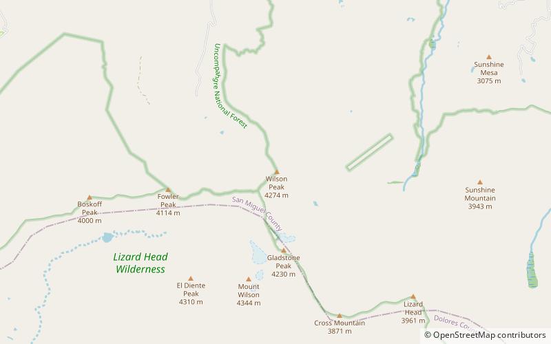
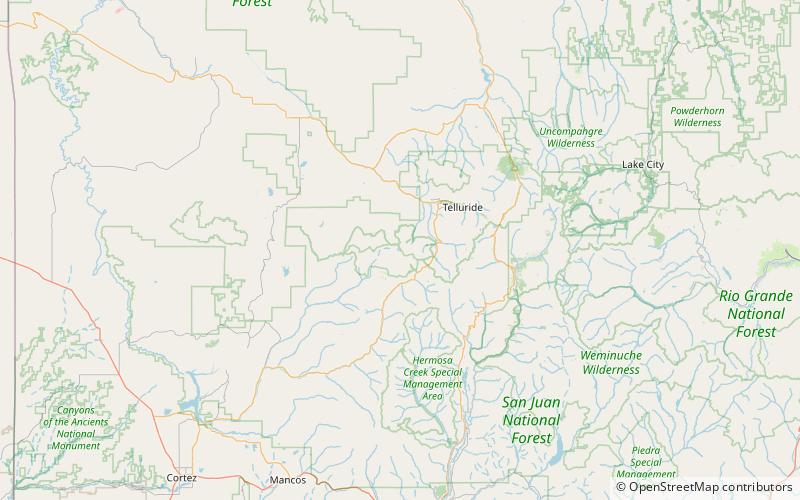
Wilson Peak is a 14,023-foot mountain peak in the U.S. state of Colorado. It is located in the Lizard Head Wilderness of the Uncompahgre National Forest, in the northwestern San Juan Mountains. It is the highest point in San Miguel County. ()
Elevation: 14023 ftProminence: 857 ftCoordinates: 37°51'37"N, 107°59'6"W
Address
Uncompahgre National Forest
ContactAdd
Social media
Add
Day trips
Wilson Peak – popular in the area (distance from the attraction)
Nearby attractions include: Mount Wilson, El Diente Peak, Lizard Head, Gladstone Peak.


