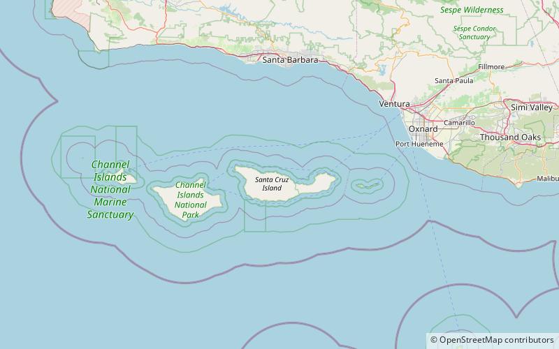
Devils Peak, Santa Cruz Island
Map

Map

Facts and practical information
Devils Peak at 2,429 feet is the tallest peak on the Channel Islands of California. It is located on Santa Cruz Island within Channel Islands National Park on land owned by The Nature Conservancy. Visiting the area requires a permit. ()
Elevation: 2429 ftCoordinates: 34°2'52"N, 119°44'46"W
Address
Santa Cruz Island
ContactAdd
Social media
Add
Day trips
Devils Peak – popular in the area (distance from the attraction)
Nearby attractions include: Channel Islands.

