Gaviota Peak, Los Padres National Forest

Gallery (1)
Map
Map
Facts and practical information
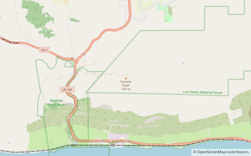
Gaviota Peak is a summit in the Santa Ynez Mountains in Santa Barbara County, California. It is located 10 miles west of Santa Barbara, 16 miles east of Point Conception and 2 miles from the Pacific Ocean. ()
Elevation: 2460 ftProminence: 198 ftCoordinates: 34°30'7"N, 120°11'56"W
Address
Los Padres National Forest
ContactAdd
Social media
Add
Day trips
Gaviota Peak – popular in the area (distance from the attraction)
Nearby attractions include: Gaviota State Park.
