Van Buren Street Bridge, Chicago
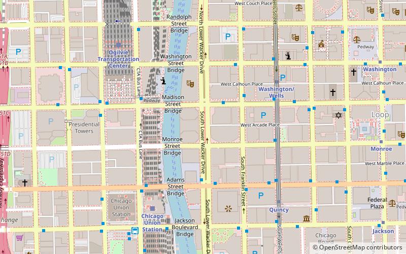
Map
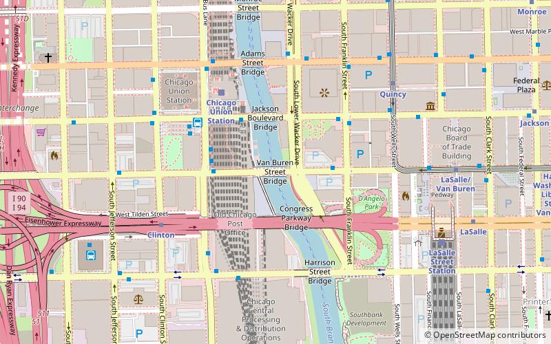
Map

Facts and practical information
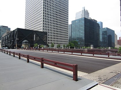
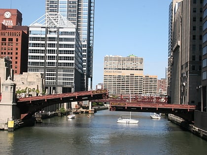
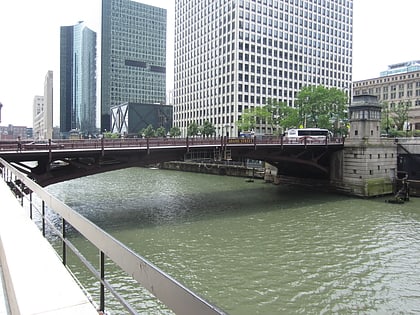
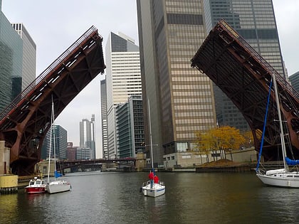
The Van Buren Street Bridge is a bascule bridge that spans the Chicago River in downtown Chicago, Illinois, United States. It is the sixth bridge at this location and carrying this name, and was completed in 1956. It replaced an 1895 Rolling Lift-type bascule bridge designed by William Scherzer. ()
Coordinates: 41°52'36"N, 87°38'15"W
Address
West Side (Near West Side)Chicago
ContactAdd
Social media
Add
Day trips
Van Buren Street Bridge – popular in the area (distance from the attraction)
Nearby attractions include: Money Museum, Chicago Board of Trade, Civic Opera House, Second Leiter Building.
Frequently Asked Questions (FAQ)
Which popular attractions are close to Van Buren Street Bridge?
Nearby attractions include Jackson Boulevard Bridge, Chicago (3 min walk), Old Chicago Main Post Office, Chicago (3 min walk), 235 Van Buren, Chicago (5 min walk), Adams Street Bridge, Chicago (5 min walk).
How to get to Van Buren Street Bridge by public transport?
The nearest stations to Van Buren Street Bridge:
Bus
Train
Metro
Bus
- Van Buren & Franklin • Lines: 37 (3 min walk)
- Jackson & Chicago River • Lines: 1, 126, 130, 151, 156, 28, 37, 7 (3 min walk)
Train
- Chicago Union Station (4 min walk)
- LaSalle Street Station (8 min walk)
Metro
- Clinton • Lines: Blue (6 min walk)
- Quincy • Lines: Brown, Orange, Pink, Purple (6 min walk)
 Rail "L"

