Cannon Park, Charleston
Map
Map

Facts and practical information
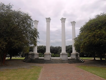
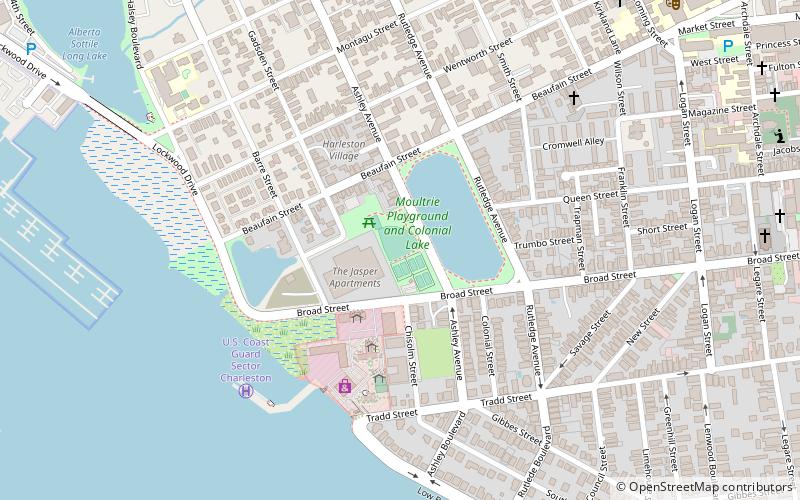
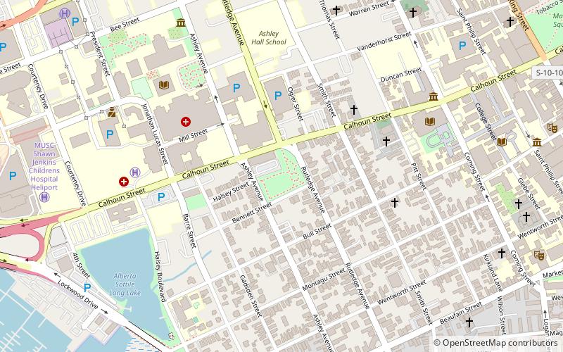
Cannon Park is a 2.7 acre public park located in peninsular Charleston, South Carolina. It is bound to the north by Calhoun St. and to the south by Bennett St. To the east and west are Rutledge Ave. and Ashley Ave. respectively. ()
Created: 1985Area: 2.7 acres (0.0042 mi²)Elevation: 7 ft a.s.l.Coordinates: 32°46'58"N, 79°56'39"W
Day trips
Cannon Park – popular in the area (distance from the attraction)
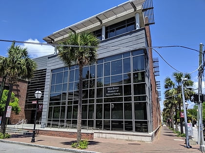
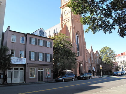
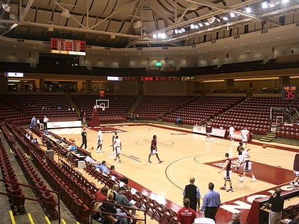
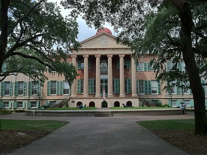
Nearby attractions include: Mace Brown Museum of Natural History, St. Matthews Lutheran Church, TD Arena, Colonial Lake.
Frequently Asked Questions (FAQ)
Which popular attractions are close to Cannon Park?
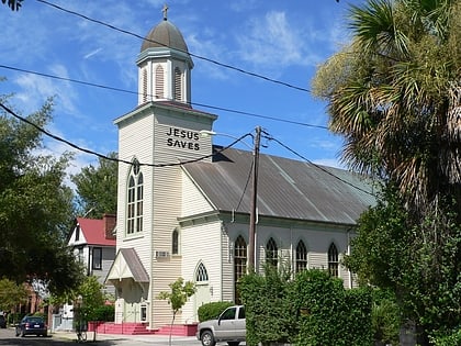
Nearby attractions include Avery Research Center for African American History and Culture, Charleston (4 min walk), Jonathan Lucas House, Charleston (5 min walk), Old Bethel United Methodist Church, Charleston (5 min walk), Isaac Jenkins Mikell House, Charleston (5 min walk).
