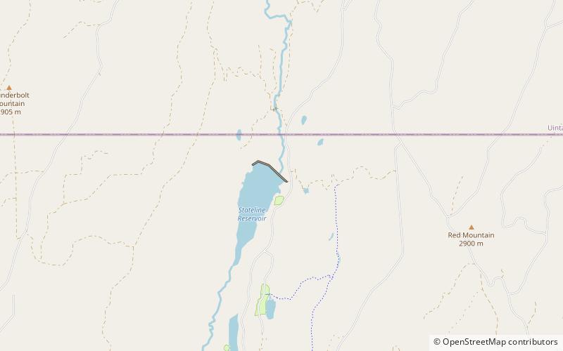
Stateline Dam, Wasatch–Cache National Forest

Map
Facts and practical information
Stateline Dam is a dam in Summit County, Utah, less than a half-mile south of the Utah-Wyoming state line. ()
Elevation: 9177 ft a.s.l.Coordinates: 40°59'14"N, 110°23'2"W
Address
Wasatch–Cache National Forest
ContactAdd
Social media
Add