National Golf Club, Pinehurst
Map

Map

Facts and practical information
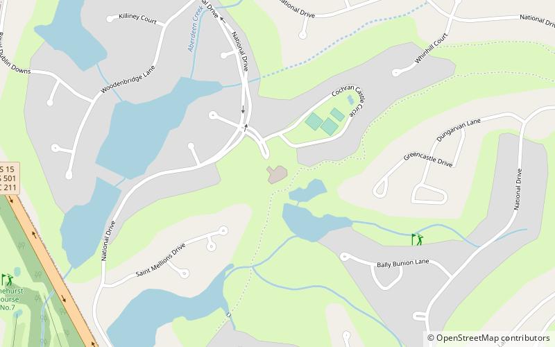
National Golf Club (address: 1 Royal Troon Dr) is a place located in Pinehurst (North Carolina state) and belongs to the category of golf, outdoor activities.
It is situated at an altitude of 436 feet, and its geographical coordinates are 35°11'36"N latitude and 79°26'19"W longitude.
Among other places and attractions worth visiting in the area are: Pinehurst Resort (golf, 43 min walk), Shaw House, Southern Pines (greek revival architecture, 70 min walk), Sandhills Horticultural Gardens (garden, 72 min walk).
Coordinates: 35°11'36"N, 79°26'19"W
Day trips
National Golf Club – popular in the area (distance from the attraction)
Nearby attractions include: Pinehurst Resort, Malcolm Blue Farm, Sandhills Horticultural Gardens, James Boyd House.


