Studleys Pond, Rockland
Map

Map

Facts and practical information
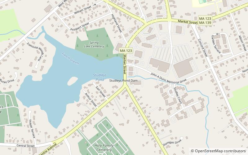
Studleys Pond, known locally as Reed's Pond, is a 29-acre pond in Rockland, Massachusetts. The pond is located south of Rockland Center on Route 123, 0.1-mile west of Route 139. The French Stream flows through the pond. Gideon's Island, named after Gideon Studley, lies in the southern portion of the pond. Thomas V. Mahon Park, a park which is owned by the Town of Rockland and is accessible from Route 123, lies along the southern shore of the pond. ()
Coordinates: 42°7'10"N, 70°55'0"W
Address
RocklandRockland
ContactAdd
Social media
Add
Day trips
Studleys Pond – popular in the area (distance from the attraction)
Nearby attractions include: Hanover Crossing, Braintree Municipal Golf Course, Brockton City Hall, St. Andrew's Episcopal Church.


