Cedar Lake Trail, Minneapolis

Facts and practical information
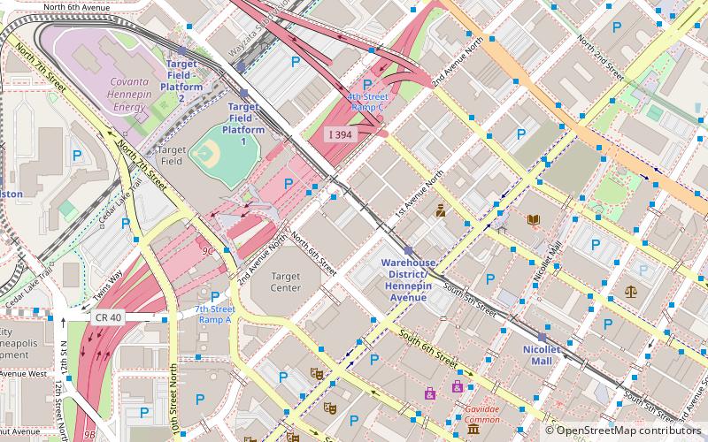
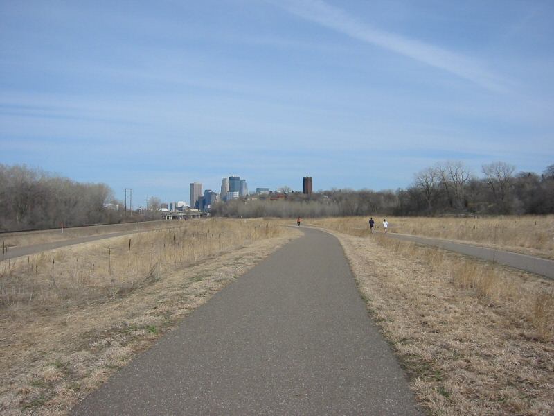
Cedar Lake Trail is a 4.3-mile, shared-use path in the U.S. state of Minnesota, from downtown Minneapolis to the neighboring suburb of St. Louis Park. The trail begins at its eastern trailhead in downtown Minneapolis and continues west to Minnesota State Highway 100 in St. Louis Park . At the trail's west end, a paved path continues for another 4.2 miles through St. Louis Park to Hopkins under the former name of Hutchinson Spur Trail, but known as North Cedar Lake Regional Trail since 2009. In 2019, large portions of the Cedar Lake Trail were closed due to construction of the Southwest LRT extension with expected reopening in 2021 or 2022. ()
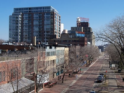
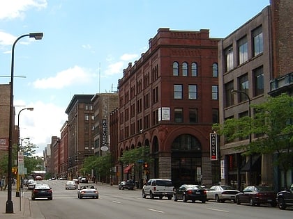
Central Minneapolis (Warehouse District)Minneapolis
Cedar Lake Trail – popular in the area (distance from the attraction)
Nearby attractions include: Target Field, Saint Anthony Falls, Saint Anthony Main, Woodbury Lakes.
Frequently Asked Questions (FAQ)
Which popular attractions are close to Cedar Lake Trail?
How to get to Cedar Lake Trail by public transport?
Bus
- 1 St N • Lines: 4, 4A, 4L, 4P (5 min walk)
- Hennepin Avenue & 1st Street • Lines: 250C, 250M, 270, 4B, 4G (5 min walk)
Light rail
- Warehouse District/Hennepin Avenue • Lines: 901, 902 (14 min walk)
- Nicollet Mall • Lines: 901, 902 (15 min walk)
Train
- Target Field (15 min walk)


