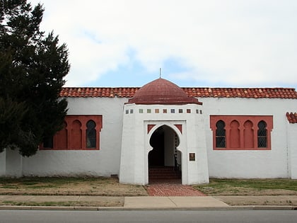
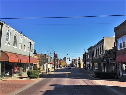
Fort D, Cape Girardeau
Map
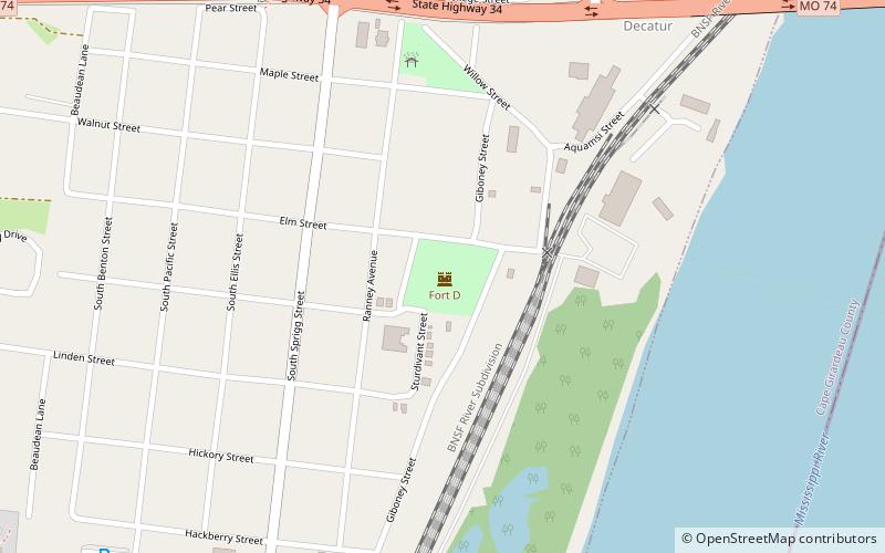
Map

Facts and practical information
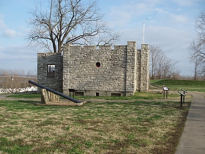
Fort D is a Civil War-era fort alongside the Mississippi River in Cape Girardeau, Missouri, USA. ()
Elevation: 390 ft a.s.l.Coordinates: 37°17'27"N, 89°31'35"W
Address
920 West Fort StreetCape Girardeau 63701
Contact
+1 573-339-6340
Social media
Add
Day trips
Fort D – popular in the area (distance from the attraction)
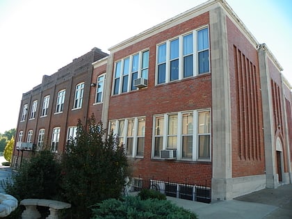
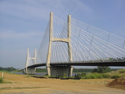
Nearby attractions include: St. Vincent De Paul Catholic Church, Cathedral of St. Mary of the Annunciation, Bill Emerson Memorial Bridge, The Crisp Museum.
Frequently Asked Questions (FAQ)
Which popular attractions are close to Fort D?
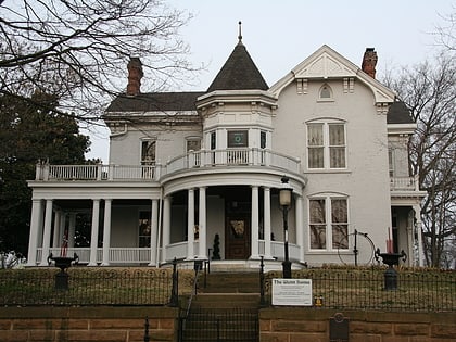
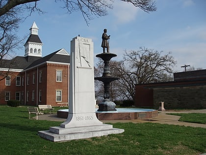
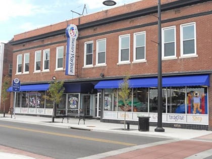
Nearby attractions include The Crisp Museum, Cape Girardeau (12 min walk), Glenn House, Cape Girardeau (15 min walk), Haarig Commercial Historic District, Cape Girardeau (16 min walk), South Middle Street Historic District, Cape Girardeau (17 min walk).
