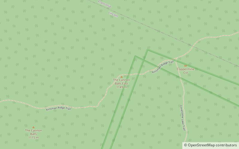
The Cannon Balls, White Mountain National Forest
Map

Map

Facts and practical information
The Cannon Balls is a mountain ridge located in Grafton County, New Hampshire. It is part of the Kinsman Range of the White Mountains. The ridge has three peaks with elevations of, from west to east, 3,693, 3,660, and 3,769 feet. The ridge takes its name from adjacent Cannon Mountain, on which a series of boulders, when viewed from the foot of the mountain, resemble an antique artillery cannon. The Cannon Balls are flanked to the northeast by Cannon Mountain, and to the southwest by Kinsman Mountain. ()
Elevation: 3769 ftProminence: 190 ftCoordinates: 44°9'0"N, 71°42'37"W
Address
White Mountain National Forest
ContactAdd
Social media
Add
Day trips
The Cannon Balls – popular in the area (distance from the attraction)
Nearby attractions include: Cannon Mountain Ski Area, Lonesome Lake Hut, Cannon Mountain, Lonesome Lake.
Frequently Asked Questions (FAQ)
Which popular attractions are close to The Cannon Balls?
Nearby attractions include Cannon Mountain, Franconia (19 min walk), Lonesome Lake, Lincoln (22 min walk), Lonesome Lake Hut, Franconia Notch State Park (23 min walk).


