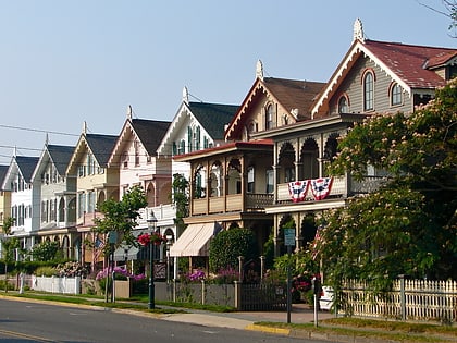
Poverty Beach, Cape May
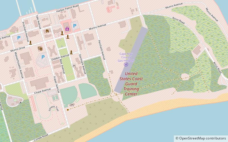
Map
Map

Facts and practical information
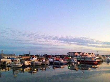
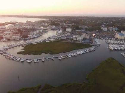
Poverty Beach or Sewell Point is a barrier spit, approximately 2.5 miles in length entirely within the City of Cape May, along the Atlantic Ocean coast of eastern New Jersey in the United States. It is the southernmost barrier island in New Jersey. ()
Coordinates: 38°56'42"N, 74°52'60"W
Address
Cape May
ContactAdd
Social media
Add
Day trips
Poverty Beach – popular in the area (distance from the attraction)
Nearby attractions include: Emlen Physick Estate, Washington Street Mall, Higbee Beach Wildlife Management Area, Cold Spring Presbyterian Church.


