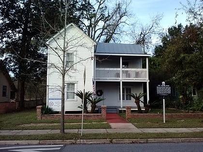
Lake Ella, Tallahassee
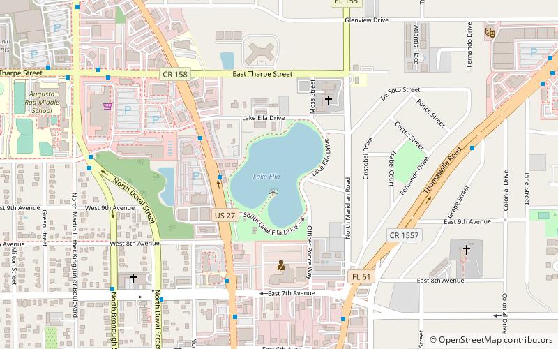
Map
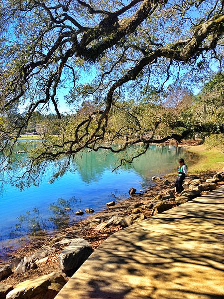
Gallery
Facts and practical information
Lake Ella is a lake in central Tallahassee, Florida on US 27 just south of Tharpe Street, and just north of Downtown. Lake Ella has an area of 12 acres. Once used for cattle, it now has three fountains and is used for recreation, flood protection, and stormwater pollution control. ()
Elevation: 154 ft a.s.l.Coordinates: 30°27'40"N, 84°16'45"W
Address
N Monroe (Midtown)Tallahassee 32399
ContactAdd
Social media
Add
Day trips
Lake Ella – popular in the area (distance from the attraction)
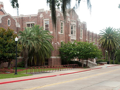
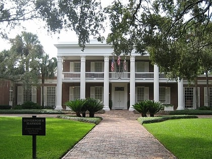
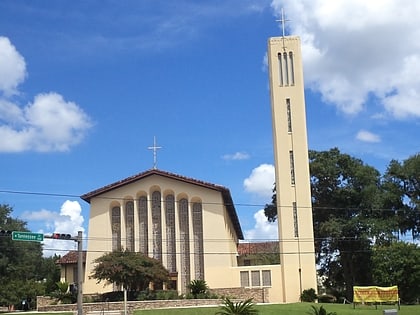
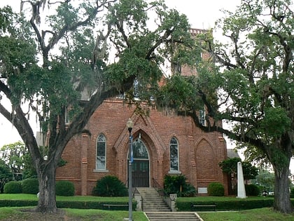
Nearby attractions include: Centre of Tallahassee, Florida State University College of Fine Arts, Florida Governor's Mansion, Co-Cathedral of Saint Thomas More.
Frequently Asked Questions (FAQ)
Which popular attractions are close to Lake Ella?
Nearby attractions include Ripe City, Tallahassee (14 min walk), The Grove Plantation, Tallahassee (20 min walk), Florida Governor's Mansion, Tallahassee (21 min walk).
How to get to Lake Ella by public transport?
The nearest stations to Lake Ella:
Bus
Bus
- Greyhound (29 min walk)
- Gate 3 • Lines: P (30 min walk)


