Gower Gulch, Death Valley National Park
Map

Map

Facts and practical information
Gower Gulch is a small gulch on the eastern side of Death Valley in Inyo County, California. It is located in the Black Mountains. Gower Gulch is visible from Zabriskie Point and is about one and a half miles long. ()
Coordinates: 36°25'0"N, 116°49'26"W
Address
Death Valley National Park
ContactAdd
Social media
Add
Day trips
Gower Gulch – popular in the area (distance from the attraction)
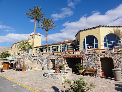
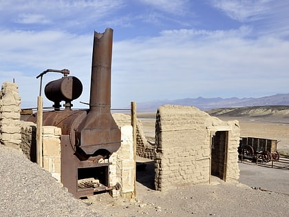
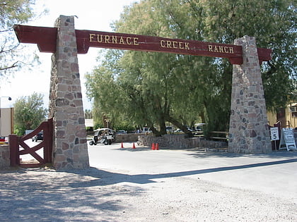
Nearby attractions include: Oasis at Death Valley, Harmony Borax Works, Furnace Creek, Zabriskie Point.


