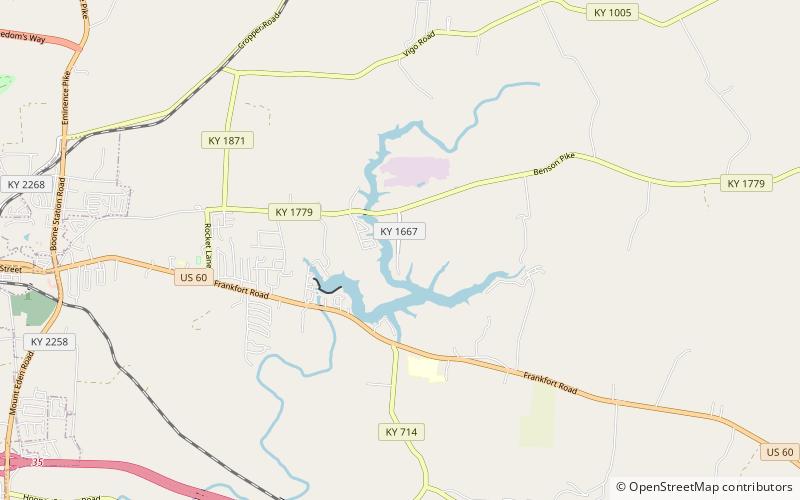
Guist Creek Lake, Shelbyville

Map
Facts and practical information
Guist Creek Lake is a 317-acre reservoir about five miles east of Shelbyville, Kentucky. It was created in 1961 by impounding Guist Creek. The lake has 27 miles of shoreline and is stocked annually with 7,900 channel catfish per year. Its average depth is 15 feet, with the main channel averaging around 20 feet in most of the lake. Its maximum depth is 47 ft. Guist Creek Lake is in the Salt River drainage basin. ()
Maximum depth: 47 ftElevation: 801 ft a.s.l.Coordinates: 38°12'48"N, 85°8'41"W
Day trips
Guist Creek Lake – popular in the area (distance from the attraction)
Nearby attractions include: Science Hill School, St. John's Methodist Church, Church of the Annunciation, Bethel AME Church.


