Mount Sopris, Maroon Bells–Snowmass Wilderness

Gallery (1)
Map
Map
Facts and practical information
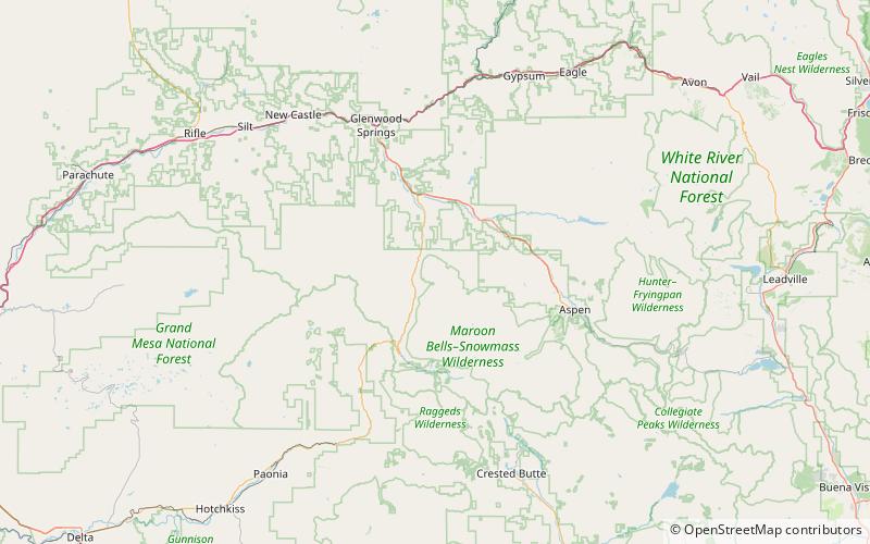
Mount Sopris is a twin-summit mountain in the northwestern Elk Mountains range of the Rocky Mountains of North America. The prominent 12,965-foot mountain is located in the Maroon Bells-Snowmass Wilderness of White River National Forest, 6.6 miles north by northeast of the community of Redstone in Pitkin County, Colorado, United States. ()
Elevation: 12965 ftProminence: 1453 ftCoordinates: 39°15'48"N, 107°10'34"W
Address
Maroon Bells–Snowmass Wilderness
ContactAdd
Social media
Add
Day trips

