Pavant Range, Fishlake National Forest

Gallery (1)
Map
Map
Facts and practical information
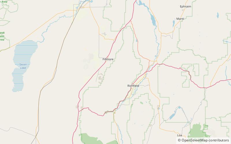
The Pahvant Range is a mountain range in central Utah, United States, east of Fillmore. ()
Maximum elevation: 79200 ftCoordinates: 38°52'27"N, 112°15'14"W
Address
Fishlake National Forest
ContactAdd
Social media
Add