St. James Park, San Jose
Map

Map

Facts and practical information
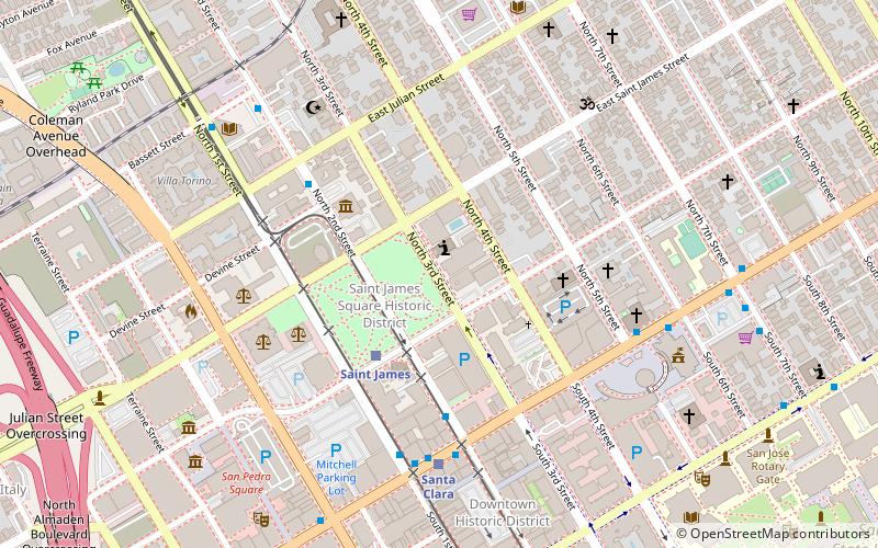
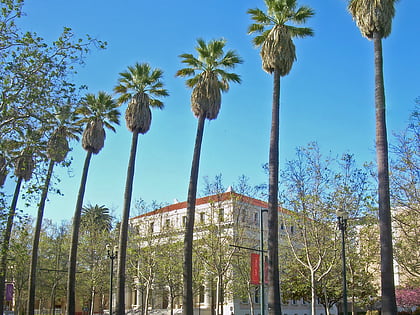
St. James Park is a 6.8-acre park in downtown San Jose, California. Originally laid out as St. James Square in 1848, local newspapers dubbed the site a park in 1885, shortly after a fountain was installed in the center of the area. In 1933, two men who were accused of kidnapping and murdering Brooke Hart were lynched in St. James Park. Since then, a road and light rail tracks have been added, bisecting the park; it is now a popular gathering spot for the homeless population of San Jose. ()
Elevation: 82 ft a.s.l.Coordinates: 37°20'21"N, 121°53'24"W
Day trips
St. James Park – popular in the area (distance from the attraction)
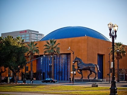
Nearby attractions include: Cathedral Basilica of St. Joseph, San Jose Museum of Art, City National Civic, The Tech Museum of Innovation.
Frequently Asked Questions (FAQ)
Which popular attractions are close to St. James Park?
Nearby attractions include First Unitarian Church of San Jose, San Jose (1 min walk), Trinity Episcopal Cathedral, San Jose (3 min walk), Trianon Theatre, San Jose (5 min walk), San Jose City Hall, San Jose (6 min walk).
How to get to St. James Park by public transport?
The nearest stations to St. James Park:
Bus
Light rail
Train
Bus
- Saint James (3 min walk)
- North 2nd Street & East Santa Clara Street • Lines: 72, 73 (4 min walk)
Light rail
- Saint James • Lines: Blue, Green (3 min walk)
- Santa Clara • Lines: Blue, Green (6 min walk)
Train
- San Jose Diridon (25 min walk)


