Keokuk Rail Bridge, Keokuk
Map

Map

Facts and practical information
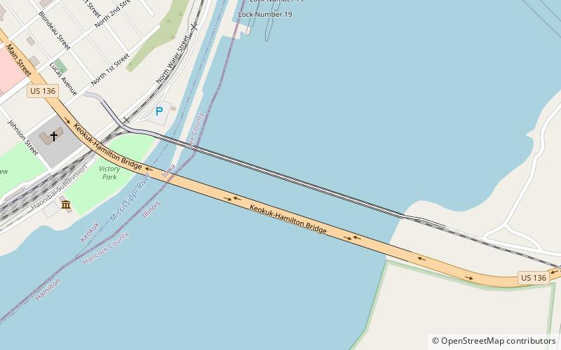
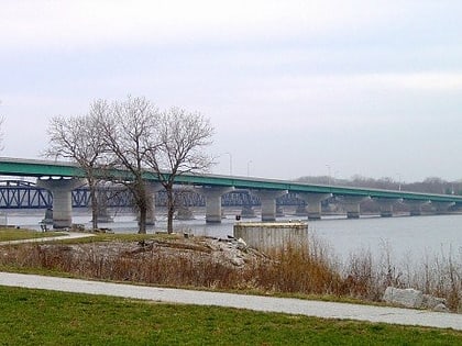
The Keokuk Bridge, also known as the Keokuk Municipal Bridge, is a double-deck, single-track railway and highway bridge across the Mississippi River in the United States between Keokuk, Iowa, and Hamilton, Illinois, just downstream of Mississippi Lock and Dam number 19. It was designed by Ralph Modjeski and constructed 1915–1916 on the piers of its predecessor that was constructed in 1869–1871. ()
Opened: 1916 (110 years ago)Coordinates: 40°23'28"N, 91°22'24"W
Address
Keokuk
ContactAdd
Social media
Add
Day trips
Keokuk Rail Bridge – popular in the area (distance from the attraction)
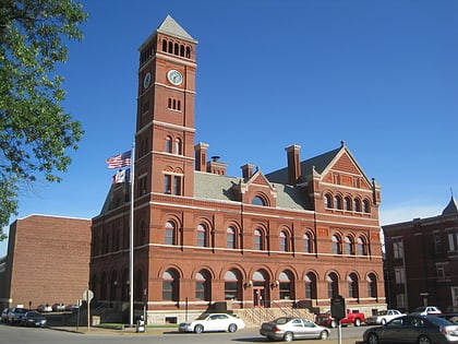
Nearby attractions include: Church of All Saints, The Bridge, United States Post Office and Courthouse, Justice Samuel Freeman Miller House.
Frequently Asked Questions (FAQ)
Which popular attractions are close to Keokuk Rail Bridge?
Nearby attractions include The Bridge, Keokuk (8 min walk), Lock and Dam No. 19, Keokuk (8 min walk), George M. Verity, Keokuk (9 min walk), Gen. Samuel R. Curtis House, Keokuk (10 min walk).


