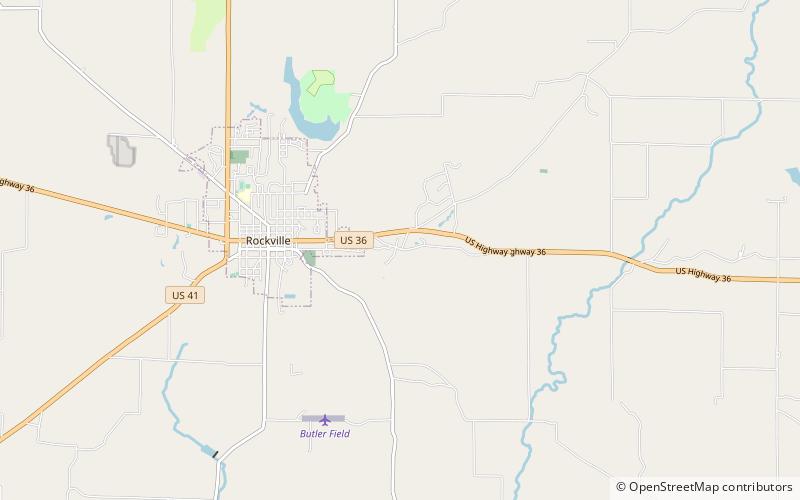
Billie Creek Covered Bridge, Rockville
Map

Map

Facts and practical information
The Billie Creek Covered Bridge is a Burr Arch structure that was built by Joseph J. Daniels in 1895. J.L. Van Fossen supplied the sandstone that makes up the abutments cut from A.E. Fuel's nearby quarry. ()
Length: 78 ftWidth: 15 ftCoordinates: 39°45'41"N, 87°12'24"W
Day trips
Billie Creek Covered Bridge – popular in the area (distance from the attraction)
Nearby attractions include: Rockville Historic District.

