Palisades Park, Santa Monica
Map
Gallery
Facts and practical information
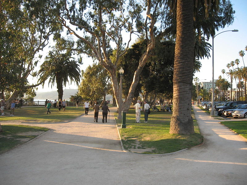
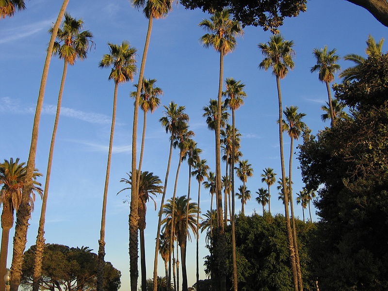
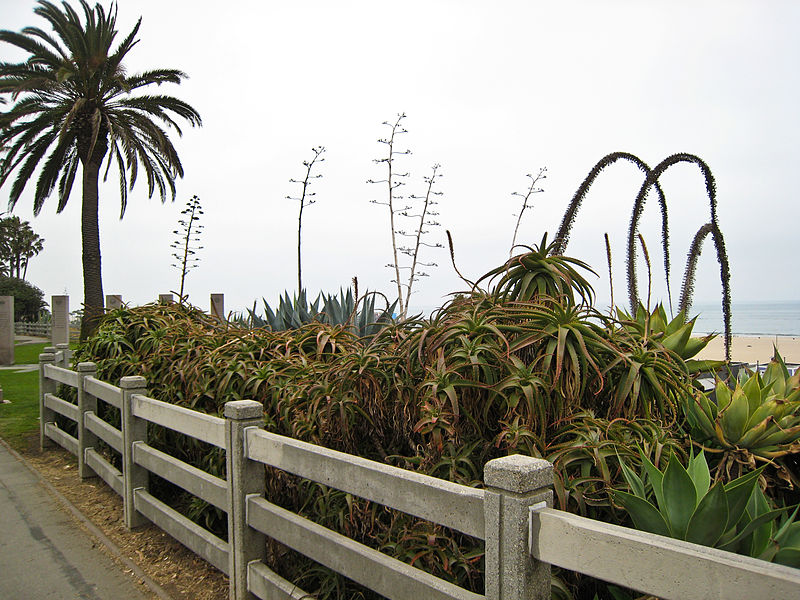
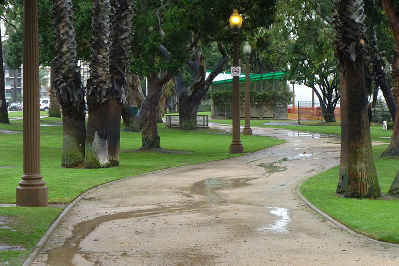
Palisades Park is a 26.4-acre park in Santa Monica, California. The park is located along a 1.6-mile section of Ocean Avenue on top of an uplifted unconsolidated sedimentary coastal Quaternary terrace with exposed bluffs, offering views of both the Pacific Ocean and the coastal mountains. ()
Elevation: 92 ft a.s.l.Coordinates: 34°1'33"N, 118°30'50"W
Address
West Los Angeles (North of Montana)Santa Monica
ContactAdd
Social media
Add
Day trips
Palisades Park – popular in the area (distance from the attraction)
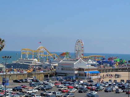
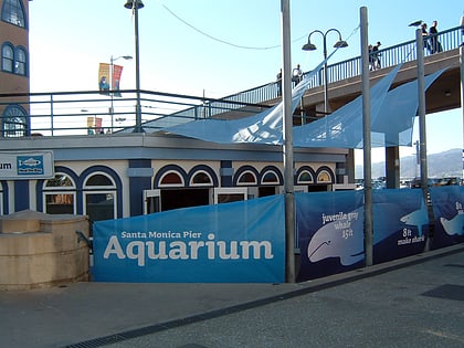
Nearby attractions include: Pacific Park, Santa Monica Pier Aquarium, Santa Monica Place, Third Street Promenade.
Frequently Asked Questions (FAQ)
Which popular attractions are close to Palisades Park?
Nearby attractions include Annenberg Community Beach House, Santa Monica (4 min walk), Albert Lewin House, Santa Monica (6 min walk), Eames House, Los Angeles (11 min walk), Sovereign Hotel, Santa Monica (21 min walk).
How to get to Palisades Park by public transport?
The nearest stations to Palisades Park:
Bus
Bus
- Mesa & Entrada • Lines: 9 (8 min walk)
- 4th & San Vicente • Lines: 9 (8 min walk)


