Westlake Square, Seattle
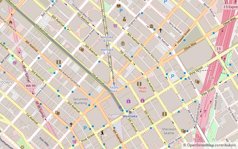
Map
Gallery
Facts and practical information
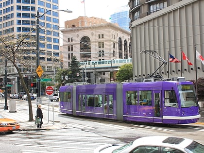
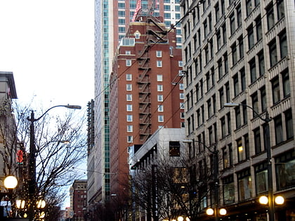
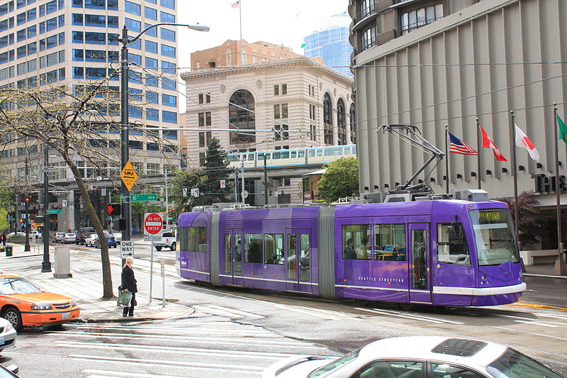
Westlake Square is a 0.01-acre park in Seattle, Washington, adjacent to Westin Seattle. It was formerly a combination streetcar stop and underground comfort station. The former comfort station was demolished and filled in 1964. ()
Created: 1917Elevation: 105 ft a.s.l.Coordinates: 47°36'49"N, 122°20'13"W
Day trips
Westlake Square – popular in the area (distance from the attraction)
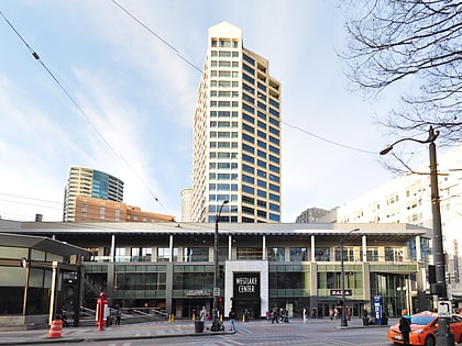
Nearby attractions include: Pacific Place, Westlake Center, Westlake Park, Cinerama.
Frequently Asked Questions (FAQ)
Which popular attractions are close to Westlake Square?
Nearby attractions include McGraw Square, Seattle (2 min walk), Medical Dental Building, Seattle (2 min walk), Westin Building, Seattle (3 min walk), Pine Street, Seattle (4 min walk).
How to get to Westlake Square by public transport?
The nearest stations to Westlake Square:
Tram
Bus
Train
Light rail
Trolleybus
Ferry
Tram
- Pacific Place • Lines: South Lake Union Streetcar (2 min walk)
- Westlake & Denny • Lines: South Lake Union Streetcar (9 min walk)
Bus
- Olive Way & 6th Ave • Lines: 402, 405, 410, 412, 413, 415, 416, 417, 421, 422, 424, 425, 435, 510, 577, 578, 594 (2 min walk)
- Stewart St & 7th Ave • Lines: 311, 402, 405, 410, 412, 413, 415, 416, 417, 421, 422, 424, 425, 435, 510, 545, 577, 578, 594 (2 min walk)
Train
- Westlake Center (3 min walk)
- Seattle Center (21 min walk)
Light rail
- Westlake • Lines: 1 (4 min walk)
- University Street • Lines: 1 (11 min walk)
Trolleybus
- 3rd Ave & Virginia St • Lines: 1, 13, 2, 3, 4 (6 min walk)
- 3rd Ave & Seneca St • Lines: 1, 13, 3, 4, 49 (13 min walk)
Ferry
- Seattle Waterfront • Lines: Seattle-Blake Island (16 min walk)
- Seattle • Lines: Seattle-Bremerton, Seattle-Victoria, Seattle-Winslow (21 min walk)
