Amici Park, San Diego
Map

Map

Facts and practical information
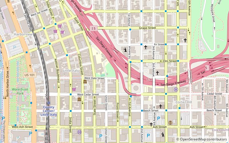
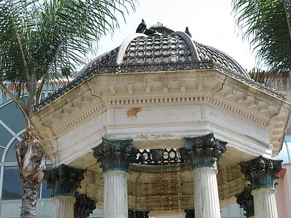
Amici Park is a park in Little Italy, San Diego, in the U.S. state of California. ()
Elevation: 82 ft a.s.l.Coordinates: 32°43'24"N, 117°9'54"W
Address
350 W Date StDowntown San Diego (Little Italy)San Diego 92101
ContactAdd
Social media
Add
Day trips
Amici Park – popular in the area (distance from the attraction)
Nearby attractions include: Maritime Museum of San Diego, Westfield Horton Plaza, Star of India Ship, Berkeley.
Frequently Asked Questions (FAQ)
Which popular attractions are close to Amici Park?
Nearby attractions include Our Lady of the Rosary Catholic Church, San Diego (4 min walk), East Village, San Diego (4 min walk), San Diego Firehouse Museum, San Diego (6 min walk), St. Joseph Cathedral, San Diego (7 min walk).
How to get to Amici Park by public transport?
The nearest stations to Amici Park:
Light rail
Bus
Tram
Train
Light rail
- County Center/Little Italy • Lines: 510, 530 (9 min walk)
- Courthouse • Lines: 520 (12 min walk)
Bus
- 4th Avenue and B Street • Lines: 120 (13 min walk)
- Broadway & Union St. • Lines: 992 (14 min walk)
Tram
- Civic Center • Lines: Silver (13 min walk)
- America Plaza • Lines: Silver (14 min walk)
Train
- San Diego (14 min walk)


