Aquarius National Forest, Fishlake National Forest

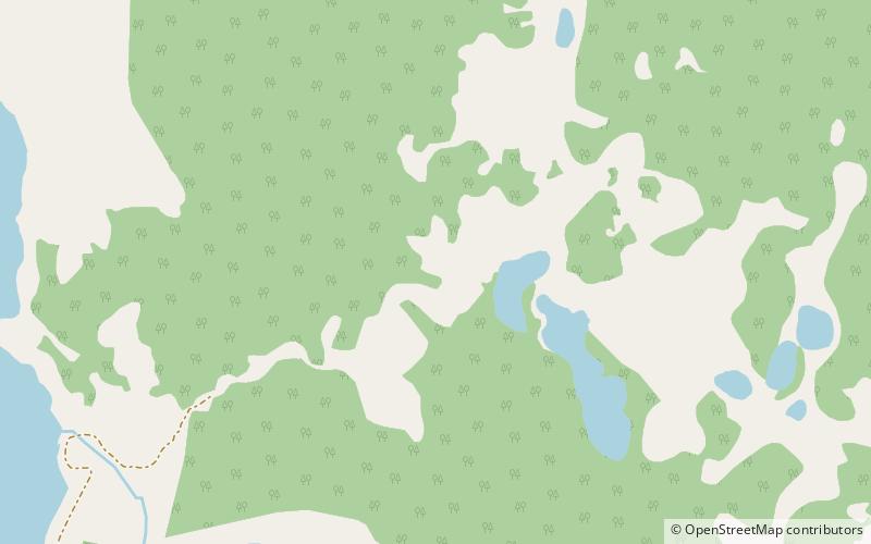
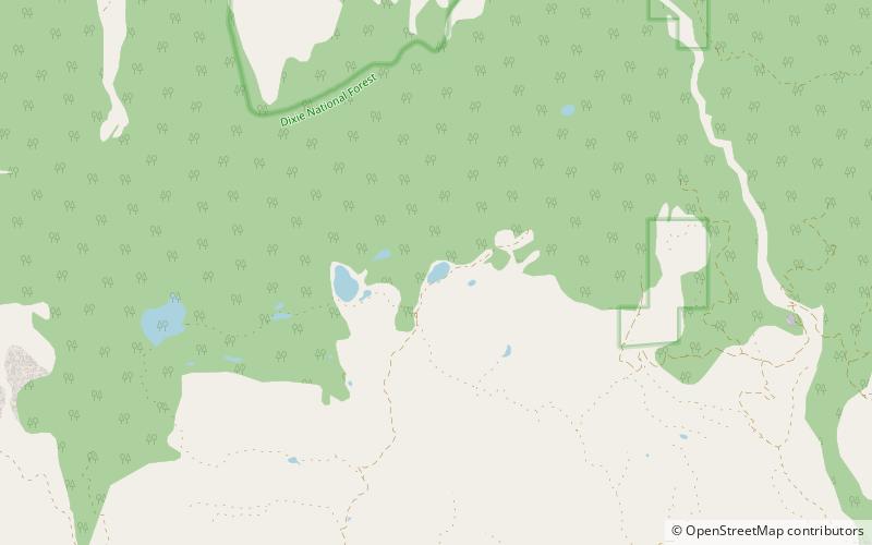
Map
Facts and practical information
Aquarius National Forest was established as the Aquarius Forest Reserve by the General Land Office in Utah on October 24, 1903, with 639,000 acres. In 1905 federal forest lands were transferred to the U.S. Forest Service. On March 4, 1907, it became a National Forest, and on July 1, 1908, it was renamed Powell National Forest. The lands are presently included in Dixie National Forest. The forest included the Aquarius Plateau to the southeast of Capitol Reef National Park. ()
Coordinates: 38°4'60"N, 111°30'0"W
Address
Fishlake National Forest
ContactAdd
Social media
Add
Day trips
Aquarius National Forest – popular in the area (distance from the attraction)
Nearby attractions include: Boulder Mountain, Cuddyback Lake.

