Trout Creek Hill, Gifford Pinchot National Forest
Map

Map

Facts and practical information
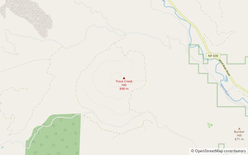
Trout Creek Hill is a small Pleistocene basaltic shield volcano in Washington, United States. Located in Skamania County, Trout Creek Hill rises to an elevation of 2,946 feet. It is part of the Cascade Volcanic Arc, located in the Marble Mountain-Trout Creek Hill volcanic field. ()
Elevation: 2946 ftCoordinates: 45°50'11"N, 121°59'42"W
Address
Gifford Pinchot National Forest
ContactAdd
Social media
Add
Day trips
Trout Creek Hill – popular in the area (distance from the attraction)
Nearby attractions include: Wind River Arboretum, Marble Mountain-Trout Creek Hill, West Crater, Wind River Experimental Forest.


