Diamond Lake, Umpqua National Forest
Map

Map

Facts and practical information
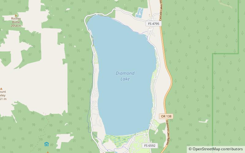
Diamond Lake is a natural body of water in the southern part of the U.S. state of Oregon. It lies near the junction of Oregon Route 138 and Oregon Route 230 in the Umpqua National Forest in Douglas County. It is located between Mount Bailey to the west and Mount Thielsen to the east; it is just north of Crater Lake National Park. ()
Alternative names: Area: 4.41 mi²Length: 3.5 miWidth: 7920 ftMaximum depth: 52 ftElevation: 5187 ft a.s.l.Coordinates: 43°9'36"N, 122°9'7"W
Address
Hwy 138 & Diamond Lake LoopUmpqua National Forest 97731
Contact
(541) 793-3333
Social media
Add
Day trips
Diamond Lake – popular in the area (distance from the attraction)
Nearby attractions include: Mount Thielsen, Mount Bailey, Lathrop Glacier, Willamette National Forest.


