Sugar Loaf, Winona
Map

Gallery

Facts and practical information
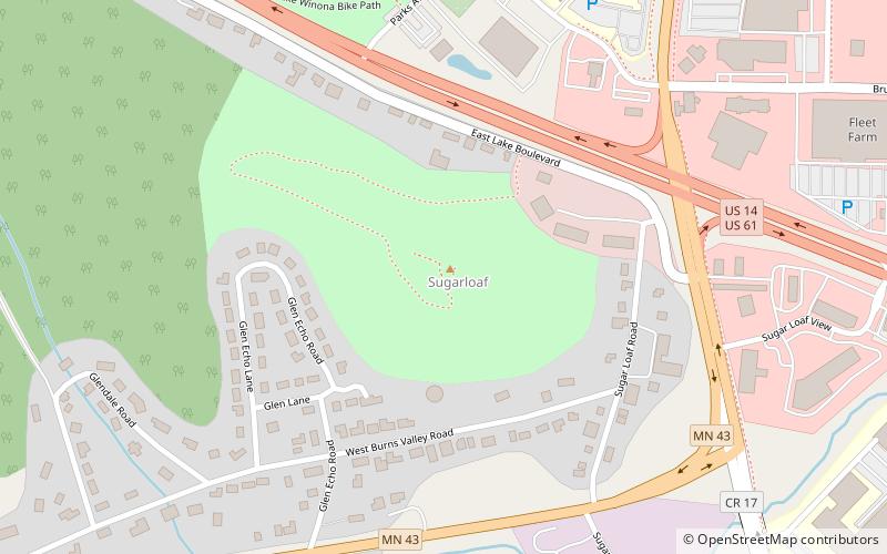
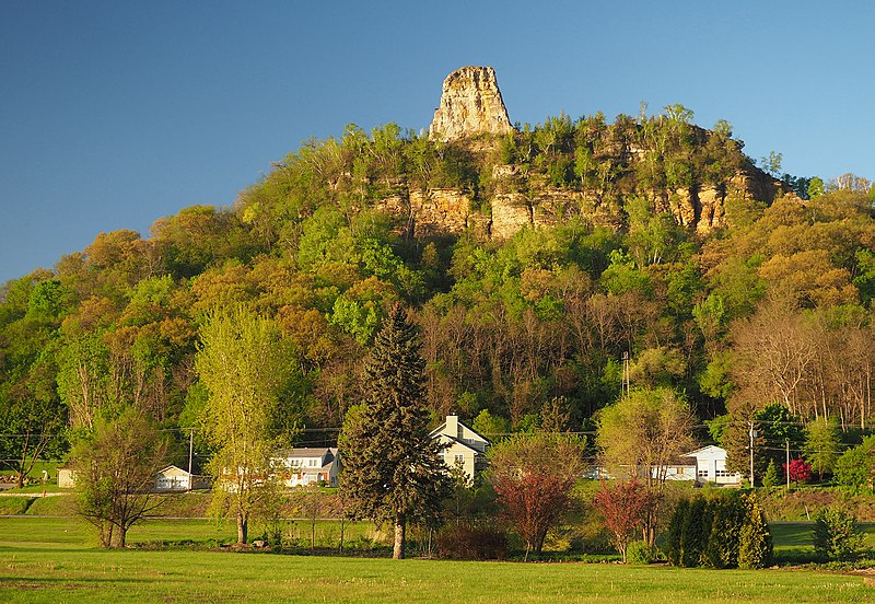
Sugar Loaf is a bluff on the Mississippi River topped by a rock pinnacle, overlooking the city of Winona, Minnesota, United States. The name "Sugar Loaf" is sometimes taken to mean just the rock pinnacle, which was created by quarrying in the 19th century. The bluff stands above the junction of U.S. Route 61 and State Highway 43. It towers 500 feet over Lake Winona, and the pinnacle rises more than 85 feet above the remainder of the bluff. ()
Elevation: 1214 ftCoordinates: 44°1'42"N, 91°37'36"W
Day trips
Sugar Loaf – popular in the area (distance from the attraction)
Nearby attractions include: Basilica of Saint Stanislaus Kostka, Polish Cultural Institute, Winona City Hall, Cathedral of the Sacred Heart.
Frequently Asked Questions (FAQ)
How to get to Sugar Loaf by public transport?
The nearest stations to Sugar Loaf:
Train
Train
- Winona (33 min walk)


