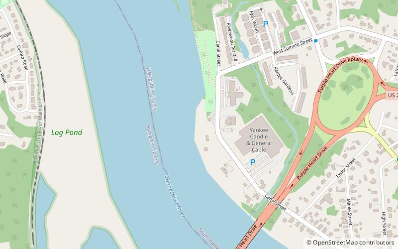
South Hadley Canal, Holyoke
Map

Map

Facts and practical information
The South Hadley Canal was a canal along the Connecticut River in South Hadley, Massachusetts. It was the earliest navigable canal in the United States, with operation commencing in 1795. It has been listed on the National Register of Historic Places as the South Hadley Canal Historic District. ()
Coordinates: 42°13'15"N, 72°36'33"W
Day trips
South Hadley Canal – popular in the area (distance from the attraction)
Nearby attractions include: Children's Museum at Holyoke, Veterans Park, Wistariahurst Museum, Holyoke City Hall.
Frequently Asked Questions (FAQ)
Which popular attractions are close to South Hadley Canal?
Nearby attractions include Joseph E. Muller Bridge, Holyoke (9 min walk), Holyoke Dam, Holyoke (17 min walk), Pulaski Park, Holyoke (17 min walk), Mater Dolorosa Parish, Holyoke (20 min walk).
How to get to South Hadley Canal by public transport?
The nearest stations to South Hadley Canal:
Bus
Train
Bus
- Holyoke Transportation Center (23 min walk)
Train
- Holyoke (31 min walk)


