Bonita Canyon, Chiricahua National Monument
Map

Map

Facts and practical information
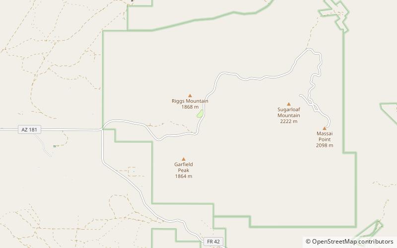
Bonita Canyon is a box canyon on the western slope of the Chiricahua Mountains in southeastern Arizona, which lies at 5,360 feet in elevation and opens in a southwesterly direction into the Sulphur Springs Valley. ()
Coordinates: 32°0'30"N, 109°21'22"W
Address
Chiricahua National Monument
ContactAdd
Social media
Add
