Pioneer Mountains, Sawtooth Wilderness
Map

Map

Facts and practical information
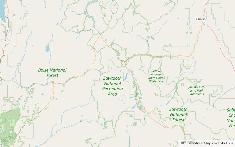
The Pioneer Mountains are a mountain range in the U.S. state of Idaho, spanning Blaine, Butte and Custer counties. The range is bounded on the west by the Big Wood River, Trail Creek and Summit Creek, and the North Fork Big Lost River, on the north and east by the East Fork Big Lost River, Left Fork Cherry Creek, Cherry Creek, Dry Fork Creek, Saint Louis Canyon, and Champagne Creek, and on the south by the Snake River Plain. The mountains are located within Sawtooth and Challis National Forests. ()
Maximum elevation: 12009 ftElevation: 12009 ftCoordinates: 44°8'29"N, 115°0'36"W
Address
Sawtooth Wilderness
ContactAdd
Social media
Add
Day trips
Pioneer Mountains – popular in the area (distance from the attraction)
Nearby attractions include: Thompson Peak, Mickey's Spire, Williams Peak, Marshall Lake.
Frequently Asked Questions (FAQ)
Which popular attractions are close to Pioneer Mountains?
Nearby attractions include Sawtooth Range, Sawtooth Wilderness (1 min walk), Thompson Peak, Sawtooth Wilderness (1 min walk), Mickey's Spire, Sawtooth Wilderness (6 min walk), Mount Carter, Sawtooth Wilderness (12 min walk).


