Memorial Bridge, Augusta
Map

Map

Facts and practical information
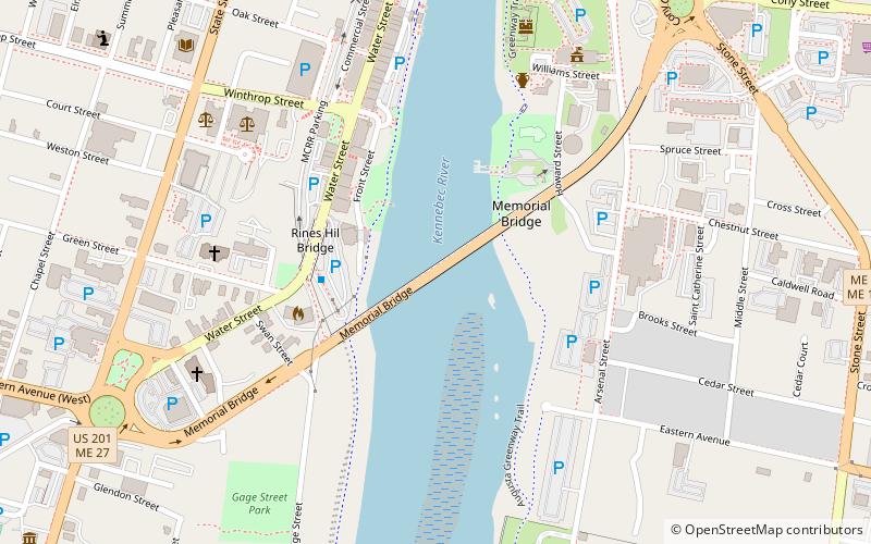
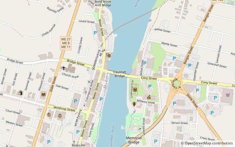
The Memorial Bridge, also known as the Kennebec Memorial Bridge, is a bridge in Augusta, Maine, that crosses the Kennebec River, joining the east and west sides of the city. It carries U.S. Route 201, U.S. Route 202, Route 11, and Route 100. The bridge is approximately 2,100 feet long and has two lanes for traffic and a barrier-protected sidewalk for pedestrians on each side of the roadway. It was built in 1949. ()
Coordinates: 44°18'45"N, 69°46'22"W
Address
Augusta
ContactAdd
Social media
Add
Day trips
Memorial Bridge – popular in the area (distance from the attraction)
Nearby attractions include: Old Fort Western, Colonial Theater, Old Post Office, St. Mark's Episcopal Church.
Frequently Asked Questions (FAQ)
Which popular attractions are close to Memorial Bridge?
Nearby attractions include Old Post Office, Augusta (5 min walk), Cushnoc Archeological Site, Augusta (5 min walk), Old Fort Western, Augusta (7 min walk), Kennebec County Courthouse, Augusta (8 min walk).
How to get to Memorial Bridge by public transport?
The nearest stations to Memorial Bridge:
Bus
Bus
- Greyhound (28 min walk)


